

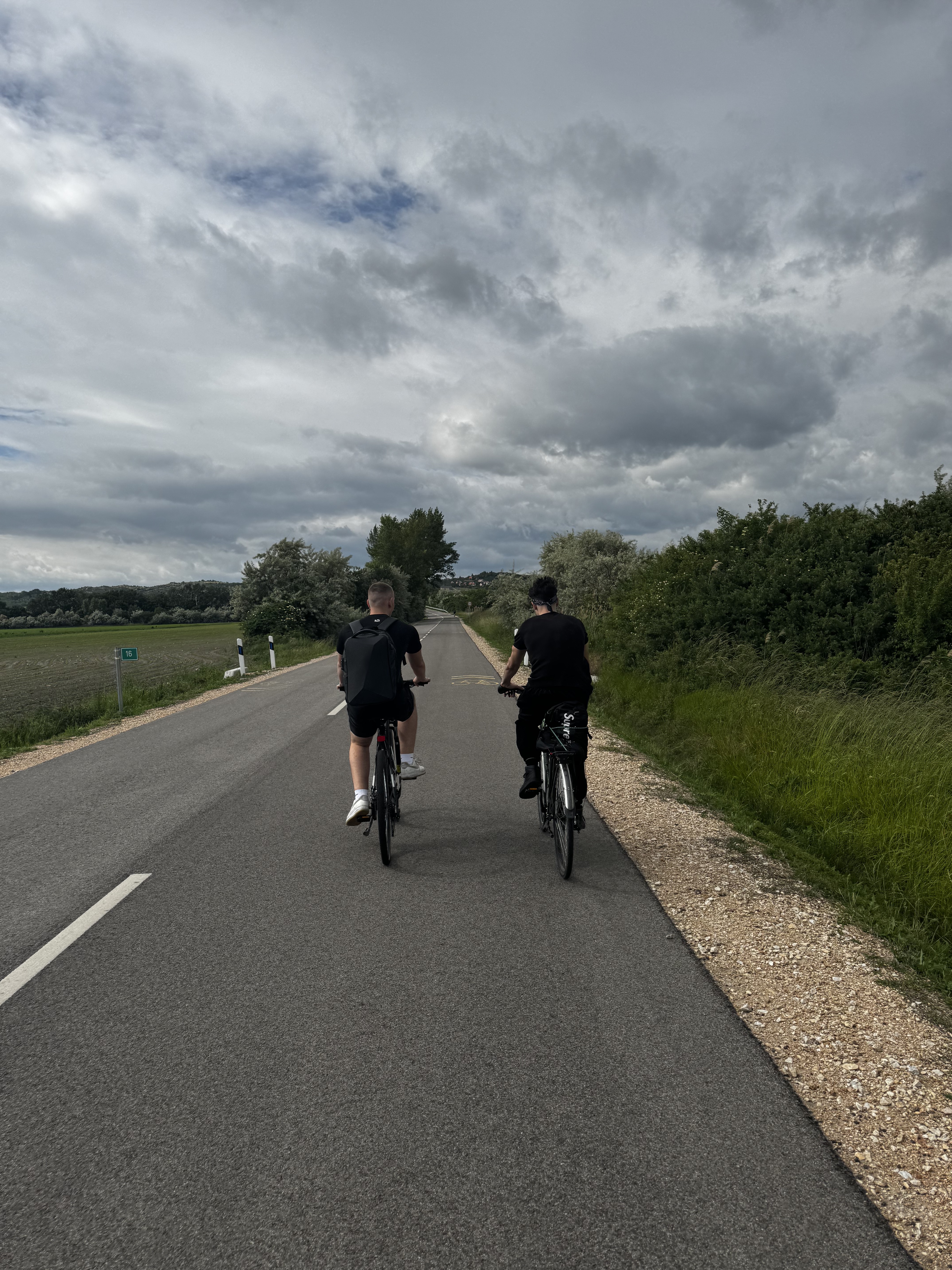
Velencei tó
A cycling route starting in Gárdony, Fejér, Hungary.
Overview
About this route
Velencefürdőtől induló kör, bármelyik irányban
- -:--
- Duration
- 33.9 km
- Distance
- 69 m
- Ascent
- 66 m
- Descent
- ---
- Avg. speed
- ---
- Max. altitude
Route quality
Waytypes & surfaces along the route
Waytypes
Cycleway
17.5 km
(52 %)
Quiet road
11.1 km
(33 %)
Surfaces
Paved
27.4 km
(81 %)
Unpaved
1 km
(3 %)
Asphalt
23.2 km
(69 %)
Paving stones
3.3 km
(10 %)
Continue with Bikemap
Use, edit, or download this cycling route
You would like to ride Velencei tó or customize it for your own trip? Here is what you can do with this Bikemap route:
Free features
- Save this route as favorite or in collections
- Copy & plan your own version of this route
- Sync your route with Garmin or Wahoo
Premium features
Free trial for 3 days, or one-time payment. More about Bikemap Premium.
- Navigate this route on iOS & Android
- Export a GPX / KML file of this route
- Create your custom printout (try it for free)
- Download this route for offline navigation
Discover more Premium features.
Get Bikemap PremiumFrom our community
Other popular routes starting in Gárdony
 Velencei-tó kerülés
- Distance
- 31.7 km
- Ascent
- 47 m
- Descent
- 49 m
- Location
- Gárdony, Fejér, Hungary
 Velencei-tó augusztus 26.
- Distance
- 30 km
- Ascent
- 70 m
- Descent
- 63 m
- Location
- Gárdony, Fejér, Hungary
 Velence-kör
- Distance
- 27.6 km
- Ascent
- 82 m
- Descent
- 83 m
- Location
- Gárdony, Fejér, Hungary
 Chernel István utca, Gárdony - Chernel István utca, Gárdony
- Distance
- 30.3 km
- Ascent
- 119 m
- Descent
- 123 m
- Location
- Gárdony, Fejér, Hungary
 velecei lake round
- Distance
- 28 km
- Ascent
- 51 m
- Descent
- 52 m
- Location
- Gárdony, Fejér, Hungary
 Üdülők útja, Gárdony - Üdülők útja, Gárdony
- Distance
- 31.1 km
- Ascent
- 103 m
- Descent
- 104 m
- Location
- Gárdony, Fejér, Hungary
 Agárd-Budapest június 5., 16:02
- Distance
- 54.7 km
- Ascent
- 184 m
- Descent
- 178 m
- Location
- Gárdony, Fejér, Hungary
 Velence-kör
- Distance
- 28.2 km
- Ascent
- 58 m
- Descent
- 57 m
- Location
- Gárdony, Fejér, Hungary
Open it in the app