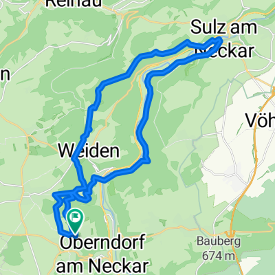
Route in Oberndorf am Neckar
- 46 km
- 697 m
- 698 m
- Oberndorf, Baden-Wurttemberg, Germany
A cycling route starting in Oberndorf, Baden-Wurttemberg, Germany.
Overview
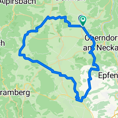
From Beffendorf, we cycle past Hochmössingen towards Fluorn and continue via Römlinsdorf, Aischfeld, Betzweiler, 24-Höfe to Loßburg. Here, the route climbs towards Schömberg to the Struthütte. The return journey follows the Kniebis cycle path into the Kinzig Wonderland. From Loßburg, we go back via 24-Höfe, Betzweiler, Aischfeld to Römlinsdorf. Via Hochmössingen, we reach our destination, Lindenhof.
created this 9 years ago
Route quality
Track
31.6 km
(55 %)
Quiet road
14.3 km
(25 %)
Paved
39.6 km
(69 %)
Unpaved
12.6 km
(22 %)
Asphalt
31 km
(54 %)
Gravel
9.8 km
(17 %)
Continue with Bikemap
You would like to ride Vatertagstour zur Struthütte or customize it for your own trip? Here is what you can do with this Bikemap route:
Free trial for 3 days, or one-time payment. More about Bikemap Premium.
Discover more Premium features.
Get Bikemap PremiumFrom our community
Open it in the app