Vercors
- 160.4 km
- 2,589 m
- 2,568 m
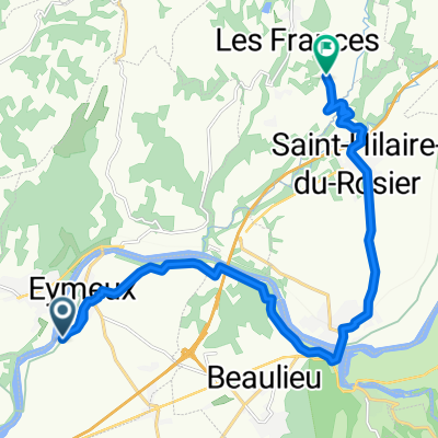
- Saint-Lattier, Auvergne-Rhône-Alpes, France
A cycling route starting in Saint-Lattier, Auvergne-Rhône-Alpes, France.
Overview
Vélo magazine dans la Drôme des collines
created this 16 years ago
Route quality
Road
64.3 km
(53 %)
Quiet road
31.5 km
(26 %)
Paved
41.3 km
(34 %)
Asphalt
41.3 km
(34 %)
Undefined
80.1 km
(66 %)
Continue with Bikemap
You would like to ride Des parcours traçés avec .... or customize it for your own trip? Here is what you can do with this Bikemap route:
Free trial for 3 days, or one-time payment. More about Bikemap Premium.
Discover more Premium features.
Get Bikemap PremiumFrom our community
Open it in the app