

Zofingen - Sursee - Sempach - Nottwil - Sursee
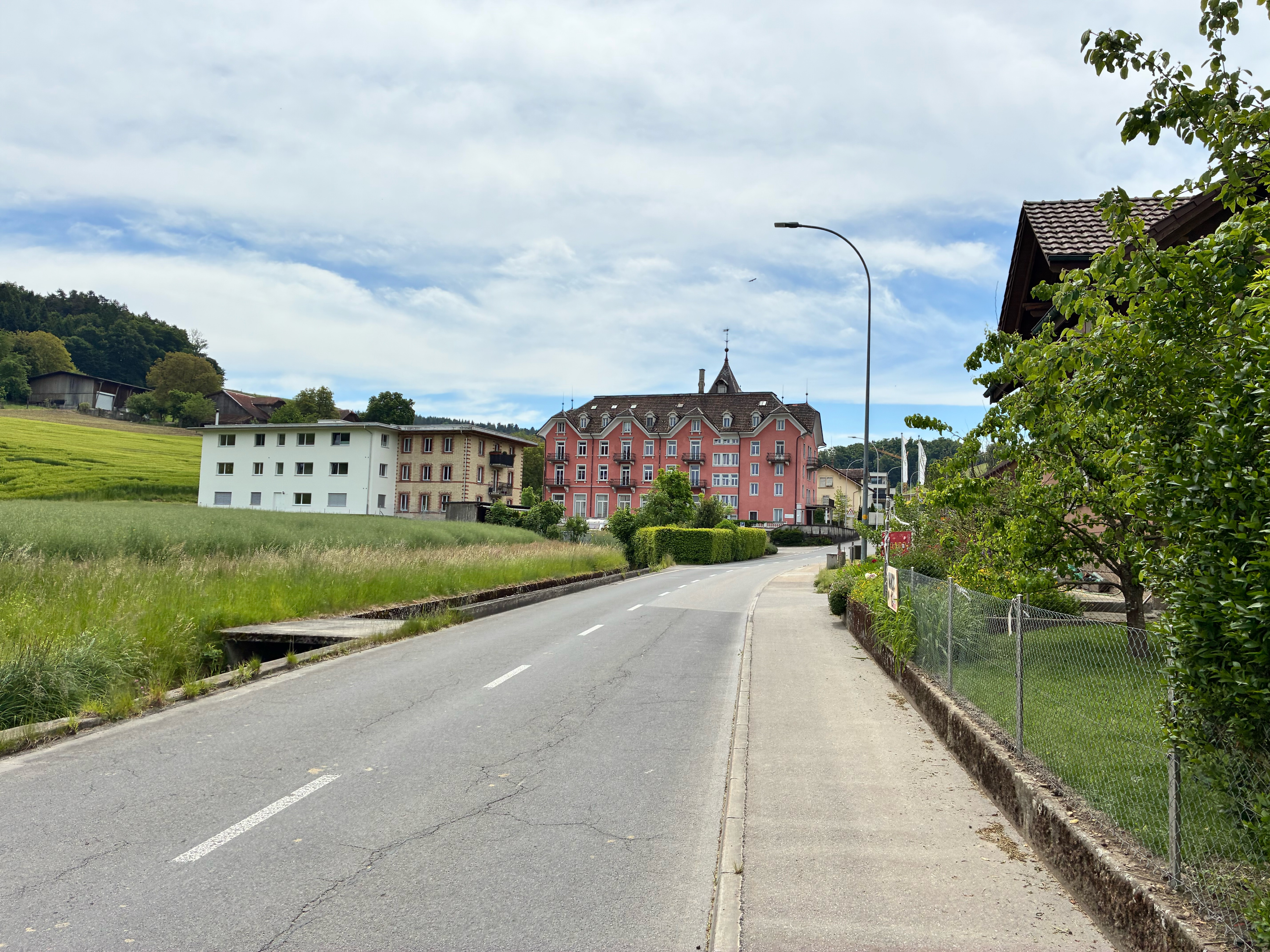
A cycling route starting in Zofingen, Canton of Aargau, Switzerland.
Overview
About this route
Zofingen - Brittnau - Reiden - Dagmersellen - St. Erhard - Sursee - Schenkon - Ebikon - Sempach - Nottwil - Sursee - St. Erhard - Dagmersellen - Reiden - Brittnau
- -:--
- Duration
- 67.4 km
- Distance
- 279 m
- Ascent
- 280 m
- Descent
- ---
- Avg. speed
- ---
- Max. altitude

Route quality
Waytypes & surfaces along the route
Waytypes
Quiet road
24.8 km
(37 %)
Track
10.1 km
(15 %)
Surfaces
Paved
31.8 km
(47 %)
Unpaved
5 km
(7 %)
Asphalt
21.8 km
(32 %)
Paved (undefined)
9.9 km
(15 %)
Continue with Bikemap
Use, edit, or download this cycling route
You would like to ride Zofingen - Sursee - Sempach - Nottwil - Sursee or customize it for your own trip? Here is what you can do with this Bikemap route:
Free features
- Save this route as favorite or in collections
- Copy & plan your own version of this route
- Sync your route with Garmin or Wahoo
Premium features
Free trial for 3 days, or one-time payment. More about Bikemap Premium.
- Navigate this route on iOS & Android
- Export a GPX / KML file of this route
- Create your custom printout (try it for free)
- Download this route for offline navigation
Discover more Premium features.
Get Bikemap PremiumFrom our community
Other popular routes starting in Zofingen
 Langnau-Richenthal-Altbüron-St. Urban
- Distance
- 51.8 km
- Ascent
- 760 m
- Descent
- 760 m
- Location
- Zofingen, Canton of Aargau, Switzerland
 3Seen-Rundfahrt
- Distance
- 103.1 km
- Ascent
- 440 m
- Descent
- 440 m
- Location
- Zofingen, Canton of Aargau, Switzerland
 Cracking ride in Zofingen
- Distance
- 21.6 km
- Ascent
- 194 m
- Descent
- 195 m
- Location
- Zofingen, Canton of Aargau, Switzerland
 Forstackerstrasse 4A, Zofingen nach Untere Grabenstrasse 36, Zofingen
- Distance
- 22.4 km
- Ascent
- 366 m
- Descent
- 365 m
- Location
- Zofingen, Canton of Aargau, Switzerland
 Untere Grabenstrasse 36, Zofingen nach Untere Grabenstrasse 36, Zofingen
- Distance
- 9.7 km
- Ascent
- 32 m
- Descent
- 32 m
- Location
- Zofingen, Canton of Aargau, Switzerland
 Forstackerstrasse 4F, Zofingen nach Forstackerstrasse 4F, Zofingen
- Distance
- 17.9 km
- Ascent
- 72 m
- Descent
- 72 m
- Location
- Zofingen, Canton of Aargau, Switzerland
 Forstackerstrasse 4F, Zofingen nach Forstackerstrasse 4A, Zofingen
- Distance
- 11.6 km
- Ascent
- 36 m
- Descent
- 36 m
- Location
- Zofingen, Canton of Aargau, Switzerland
 Forstackerstrasse 4F, Zofingen nach Forstackerstrasse 4A, Zofingen
- Distance
- 10.2 km
- Ascent
- 36 m
- Descent
- 38 m
- Location
- Zofingen, Canton of Aargau, Switzerland
Open it in the app