


Dillstädt-Thüringenpark Erfurt (Hinweg)
A cycling route starting in Dillstädt, Thuringia, Germany.
Overview
About this route
0
today it was not about the elevation gain-still, I took the 'Neuer Weg' from Pochwerksgrund up to Borstenplatz on the Rennsteig-after all, I was at Mönchshof after 31 km and exactly 2 h-after 4 h at the cathedral square in Erfurt-this time I stopped the tour and intentionally recorded the return trip-with the return through Jonastal to Oberhof I rode 164 km and 1,635 m of elevation gain
- -:--
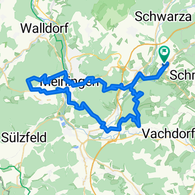
- Duration
- 80.2 km
- Distance
- 738 m
- Ascent
- 941 m
- Descent
- ---
- Avg. speed
- ---
- Max. altitude
Frank Bach
created this 10 years ago
Route quality
Waytypes & surfaces along the route
Waytypes
Quiet road
21.6 km
27 %
Track
20 km
25 %
Surfaces
Paved
50.5 km
(63 %)
Unpaved
17.6 km
(22 %)
Asphalt
49.7 km
62 %
Gravel
12.8 km
16 %
Continue with Bikemap
Use, edit, or download this cycling route
You would like to ride Dillstädt-Thüringenpark Erfurt (Hinweg) or customize it for your own trip? Here is what you can do with this Bikemap route:
Free features
- Save this route as favorite or in collections
- Copy & plan your own version of this route
- Split it into stages to create a multi-day tour
- Sync your route with Garmin or Wahoo
Premium features
Free trial for 3 days, or one-time payment. More about Bikemap Premium.
- Navigate this route on iOS & Android
- Export a GPX / KML file of this route
- Create your custom printout (try it for free)
- Download this route for offline navigation
Discover more Premium features.
Get Bikemap PremiumFrom our community
Other popular routes starting in Dillstädt


 Dillstädt-Geroder Berg-Halsberg-Hexenberg-30-Acker-MGN-Hohe Maas-Dillstädt0
- 49.3 km
- 975 m
- 975 m
- Dillstädt, Thuringia, Germany

 Dillstädt-Stein 16-Bhf. Oberhof-Großer Beerberg-Goldlauter-Eisenberg-Dillstädt (Teil 1)0
- 24.9 km
- 849 m
- 343 m
- Dillstädt, Thuringia, Germany
 Flugplatz Mgn-Obere Kuhtrift-Herpf-Wallbach-Kuhhohle-Dolmar0
- 68.7 km
- 945 m
- 926 m
- Dillstädt, Thuringia, Germany


Open it in the app