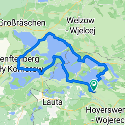
Runde Scheibe-See Bernsteinsee
- 26.9 km
- 306 m
- 331 m
- Hoyerswerda, Saxony, Germany
A cycling route starting in Hoyerswerda, Saxony, Germany.
Overview
created this 9 years ago
Route quality
Road
37.8 km
(33 %)
Quiet road
21.7 km
(19 %)
Paved
98.4 km
(86 %)
Unpaved
4.6 km
(4 %)
Asphalt
97.3 km
(85 %)
Unpaved (undefined)
2.3 km
(2 %)
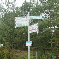
Route highlights

Pause

Mittag

Schloß
Rudi´s Kaffee
Continue with Bikemap
You would like to ride Testfahrt Kristina_Dieter or customize it for your own trip? Here is what you can do with this Bikemap route:
Free trial for 3 days, or one-time payment. More about Bikemap Premium.
Discover more Premium features.
Get Bikemap PremiumFrom our community
Open it in the app