

Brauerei Biketour
A cycling route starting in Aufseß, Bavaria, Germany.
Overview
About this route
Tour length 53 km
820 meters of elevation gain [according to GPS Tracker]
Time with handbike: 5:15 h
Places to stop
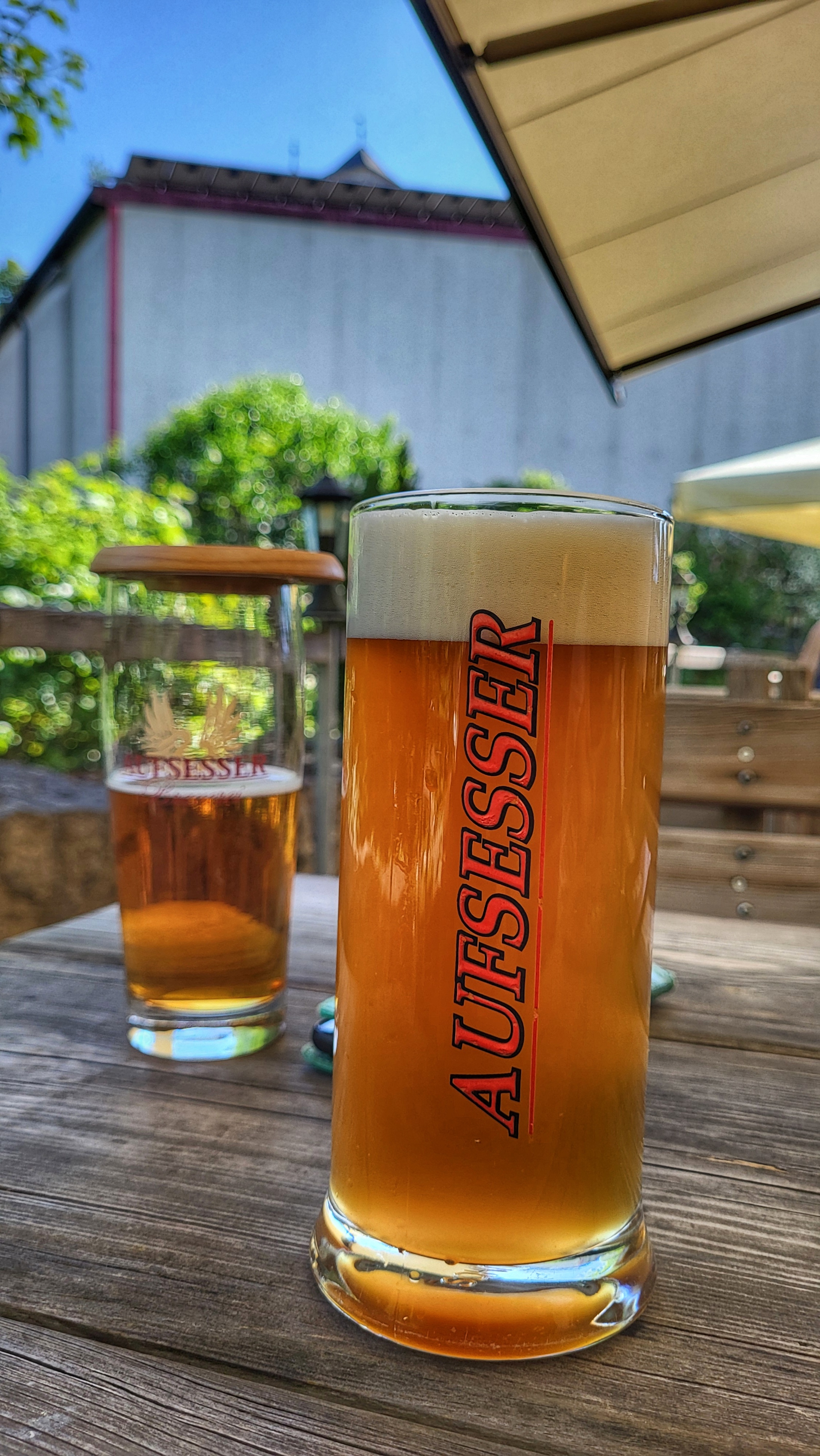
Brauereigasthof Reichhold / Hochstahl
Brauereigasthof Rothenbach / Aufseß
Brauereigasthof Eichinger / Heiligenstadt
Brauereigasthof Ott / Oberleinleiter
Brauereigasthof Grasser / Huppendorf
- -:--
- Duration
- 53 km
- Distance
- 444 m
- Ascent
- 446 m
- Descent
- ---
- Avg. speed
- ---
- Max. altitude

Route quality
Waytypes & surfaces along the route
Waytypes
Quiet road
21.2 km
(40 %)
Track
11.1 km
(21 %)
Surfaces
Paved
34.5 km
(65 %)
Unpaved
1.1 km
(2 %)
Asphalt
31.8 km
(60 %)
Paved (undefined)
2.7 km
(5 %)
Continue with Bikemap
Use, edit, or download this cycling route
You would like to ride Brauerei Biketour or customize it for your own trip? Here is what you can do with this Bikemap route:
Free features
- Save this route as favorite or in collections
- Copy & plan your own version of this route
- Sync your route with Garmin or Wahoo
Premium features
Free trial for 3 days, or one-time payment. More about Bikemap Premium.
- Navigate this route on iOS & Android
- Export a GPX / KML file of this route
- Create your custom printout (try it for free)
- Download this route for offline navigation
Discover more Premium features.
Get Bikemap PremiumFrom our community
Other popular routes starting in Aufseß
 Brauerei-_und_Bierkellertour - Brauerei-_und_Bierkellertour
- Distance
- 195.4 km
- Ascent
- 2,444 m
- Descent
- 2,446 m
- Location
- Aufseß, Bavaria, Germany
 Brauerei Biketour
- Distance
- 53 km
- Ascent
- 444 m
- Descent
- 446 m
- Location
- Aufseß, Bavaria, Germany
 Fränkische
- Distance
- 56.8 km
- Ascent
- 577 m
- Descent
- 579 m
- Location
- Aufseß, Bavaria, Germany
 Fränkische Schweiz Test
- Distance
- 56.9 km
- Ascent
- 568 m
- Descent
- 568 m
- Location
- Aufseß, Bavaria, Germany
 Lange Ausfahrt nach Adelsdorf
- Distance
- 51.5 km
- Ascent
- 235 m
- Descent
- 372 m
- Location
- Aufseß, Bavaria, Germany
 Wiesenttal und Aufseßtal mit dem Radl
- Distance
- 41.9 km
- Ascent
- 325 m
- Descent
- 327 m
- Location
- Aufseß, Bavaria, Germany
 34km HollfeldSiegritz
- Distance
- 35.2 km
- Ascent
- 447 m
- Descent
- 445 m
- Location
- Aufseß, Bavaria, Germany
 Ansteig Aufseß-Heckenhof
- Distance
- 1.2 km
- Ascent
- 74 m
- Descent
- 7 m
- Location
- Aufseß, Bavaria, Germany
Open it in the app