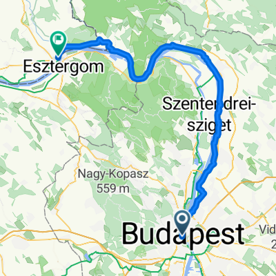
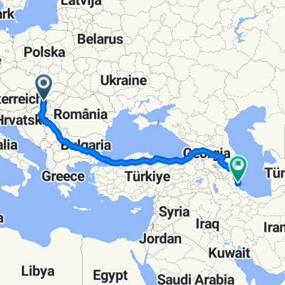
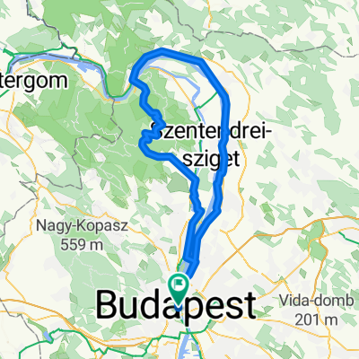
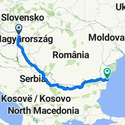
Long ride from 2016. 05. 07. 15:18
A cycling route starting in Budapest, Budapest, Hungary.
Overview
About this route
- -:--
- Duration
- 33.4 km
- Distance
- 726 m
- Ascent
- 725 m
- Descent
- ---
- Avg. speed
- ---
- Max. altitude
Continue with Bikemap
Use, edit, or download this cycling route
You would like to ride Long ride from 2016. 05. 07. 15:18 or customize it for your own trip? Here is what you can do with this Bikemap route:
Free features
- Save this route as favorite or in collections
- Copy & plan your own version of this route
- Sync your route with Garmin or Wahoo
Premium features
Free trial for 3 days, or one-time payment. More about Bikemap Premium.
- Navigate this route on iOS & Android
- Export a GPX / KML file of this route
- Create your custom printout (try it for free)
- Download this route for offline navigation
Discover more Premium features.
Get Bikemap PremiumFrom our community
Other popular routes starting in Budapest
- HHH es Hidegkut
- Distance
- 20.2 km
- Ascent
- 467 m
- Descent
- 356 m
- Location
- Budapest, Budapest, Hungary
- Normafás útvonal
- Distance
- 9.6 km
- Ascent
- 459 m
- Descent
- 53 m
- Location
- Budapest, Budapest, Hungary
- Budapest Szentendre und zurück 12.09.2022
- Distance
- 45.4 km
- Ascent
- 116 m
- Descent
- 49 m
- Location
- Budapest, Budapest, Hungary
- Kreált túra
- Distance
- 2.7 km
- Ascent
- 62 m
- Descent
- 42 m
- Location
- Budapest, Budapest, Hungary
- Magyarország negyedkörbe 2020
- Distance
- 533.2 km
- Ascent
- 406 m
- Descent
- 424 m
- Location
- Budapest, Budapest, Hungary
- Szent Jakab-út Budapesten
- Distance
- 13.3 km
- Ascent
- 441 m
- Descent
- 295 m
- Location
- Budapest, Budapest, Hungary
- Bp - Szentendre - Pap-rét - Visegrád - Bp
- Distance
- 87.1 km
- Ascent
- 569 m
- Descent
- 567 m
- Location
- Budapest, Budapest, Hungary
- jánoshegy + hűvösvölgy NR előtt
- Distance
- 28.4 km
- Ascent
- 457 m
- Descent
- 454 m
- Location
- Budapest, Budapest, Hungary
Open it in the app