
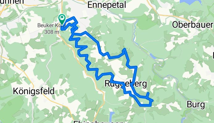
Radrunde durch Ennepetal
A cycling route starting in Ennepetal, North Rhine-Westphalia, Germany.
Overview
About this route
- -:--
- Duration
- 18.7 km
- Distance
- 348 m
- Ascent
- 354 m
- Descent
- ---
- Avg. speed
- ---
- Max. altitude
Route quality
Waytypes & surfaces along the route
Waytypes
Track
9.3 km
(50 %)
Quiet road
9 km
(48 %)
Surfaces
Paved
5.2 km
(28 %)
Unpaved
8.4 km
(45 %)
Gravel
5.4 km
(29 %)
Asphalt
5.2 km
(28 %)
Route highlights
Points of interest along the route

Point of interest after 7 km
Blick auf Rücgeberg
Continue with Bikemap
Use, edit, or download this cycling route
You would like to ride Radrunde durch Ennepetal or customize it for your own trip? Here is what you can do with this Bikemap route:
Free features
- Save this route as favorite or in collections
- Copy & plan your own version of this route
- Sync your route with Garmin or Wahoo
Premium features
Free trial for 3 days, or one-time payment. More about Bikemap Premium.
- Navigate this route on iOS & Android
- Export a GPX / KML file of this route
- Create your custom printout (try it for free)
- Download this route for offline navigation
Discover more Premium features.
Get Bikemap PremiumFrom our community
Other popular routes starting in Ennepetal
 Durch's Bergisches Land
- Distance
- 62.9 km
- Ascent
- 642 m
- Descent
- 642 m
- Location
- Ennepetal, North Rhine-Westphalia, Germany
 Milspe-Rüggeberg-Beyenburg u. zurück
- Distance
- 33.2 km
- Ascent
- 624 m
- Descent
- 633 m
- Location
- Ennepetal, North Rhine-Westphalia, Germany
 Ennepe-Runde
- Distance
- 30.7 km
- Ascent
- 556 m
- Descent
- 562 m
- Location
- Ennepetal, North Rhine-Westphalia, Germany
 Lange Radrunde durch Ennepetal
- Distance
- 32.6 km
- Ascent
- 456 m
- Descent
- 554 m
- Location
- Ennepetal, North Rhine-Westphalia, Germany
 Rund Voerde
- Distance
- 26.3 km
- Ascent
- 557 m
- Descent
- 558 m
- Location
- Ennepetal, North Rhine-Westphalia, Germany
 Mein Stammtrail mit viel Grün
- Distance
- 37.6 km
- Ascent
- 408 m
- Descent
- 408 m
- Location
- Ennepetal, North Rhine-Westphalia, Germany
 Radrunde durch Ennepetal
- Distance
- 18.7 km
- Ascent
- 348 m
- Descent
- 354 m
- Location
- Ennepetal, North Rhine-Westphalia, Germany
 bike tour from 4 czerwca, 10:52
- Distance
- 25.7 km
- Ascent
- 443 m
- Descent
- 460 m
- Location
- Ennepetal, North Rhine-Westphalia, Germany
Open it in the app