

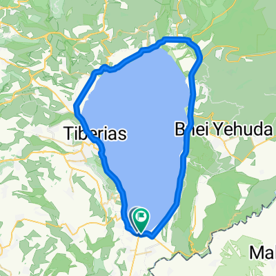
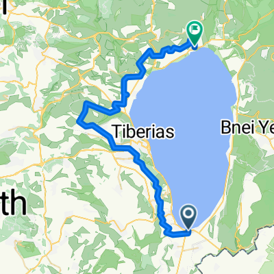
עמק הירדן
A cycling route starting in Yavne’el, Northern District, Israel.
Overview
About this route
- 53 min
- Duration
- 31.1 km
- Distance
- 0 m
- Ascent
- 0 m
- Descent
- 35.1 km/h
- Avg. speed
- ---
- Max. altitude

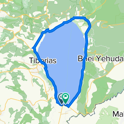
Route highlights
Points of interest along the route
Point of interest after 13 km
Afikm
Continue with Bikemap
Use, edit, or download this cycling route
You would like to ride עמק הירדן or customize it for your own trip? Here is what you can do with this Bikemap route:
Free features
- Save this route as favorite or in collections
- Copy & plan your own version of this route
- Sync your route with Garmin or Wahoo
Premium features
Free trial for 3 days, or one-time payment. More about Bikemap Premium.
- Navigate this route on iOS & Android
- Export a GPX / KML file of this route
- Create your custom printout (try it for free)
- Download this route for offline navigation
Discover more Premium features.
Get Bikemap PremiumFrom our community
Other popular routes starting in Yavne’el
 הקפה מלאה 60.5 סובב כנרת
- Distance
- 61.2 km
- Ascent
- 0 m
- Descent
- 0 m
- Location
- Yavne’el, Northern District, Israel
 הקפת הכנרת
- Distance
- 420.6 km
- Ascent
- 8,532 m
- Descent
- 8,527 m
- Location
- Yavne’el, Northern District, Israel
 A ride on the Jordan river banks
- Distance
- 33.4 km
- Ascent
- 130 m
- Descent
- 145 m
- Location
- Yavne’el, Northern District, Israel
 טור דה סונול הקפת הכנרת 60.5 ק"מ
- Distance
- 60.8 km
- Ascent
- 0 m
- Descent
- 0 m
- Location
- Yavne’el, Northern District, Israel
 הקפה מלאה 60.5 סובב כנרת
- Distance
- 61.3 km
- Ascent
- 0 m
- Descent
- 0 m
- Location
- Yavne’el, Northern District, Israel
 חצי סובב כינרת
- Distance
- 54 km
- Ascent
- 1,290 m
- Descent
- 1,273 m
- Location
- Yavne’el, Northern District, Israel
 סובב כנרת 2010
- Distance
- 60.5 km
- Ascent
- 214 m
- Descent
- 213 m
- Location
- Yavne’el, Northern District, Israel
 סובב כינרת
- Distance
- 60.6 km
- Ascent
- 205 m
- Descent
- 207 m
- Location
- Yavne’el, Northern District, Israel
Open it in the app