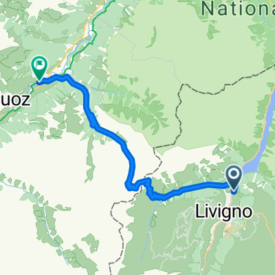
TAC 2012 Etappe 6: Livigno-Ponte di Legno
- 103.1 km
- 2,818 m
- 3,429 m
- Livigno, Lombardy, Italy
A cycling route starting in Livigno, Lombardy, Italy.
Overview
Ultima Tappa
created this 9 years ago
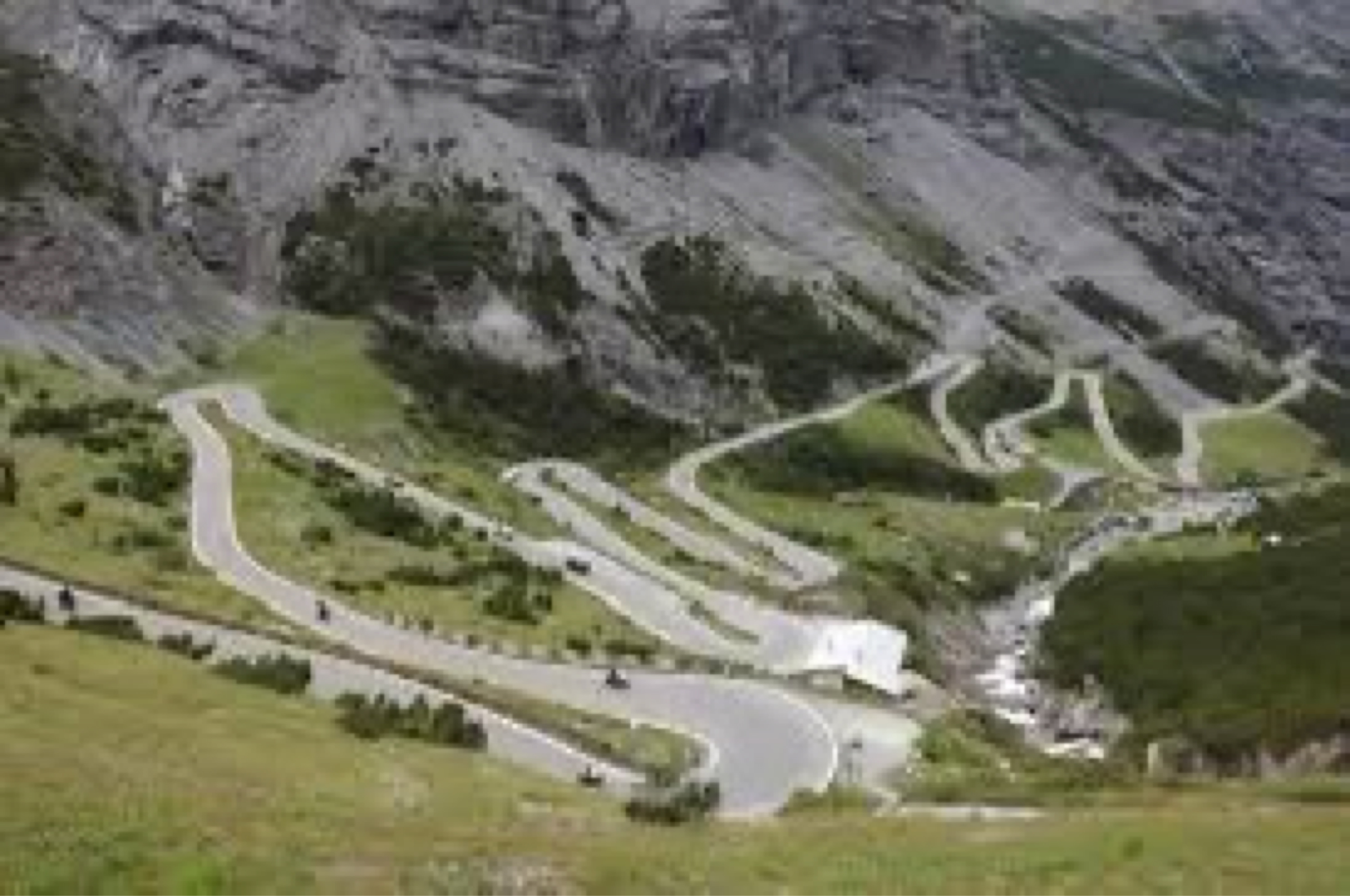
Route quality
Quiet road
48 km
(27 %)
Track
16 km
(9 %)
Paved
122.8 km
(69 %)
Unpaved
8.9 km
(5 %)
Asphalt
115.6 km
(65 %)
Paved (undefined)
7.1 km
(4 %)
Continue with Bikemap
You would like to ride Livigno -Tiarno di Sotto or customize it for your own trip? Here is what you can do with this Bikemap route:
Free trial for 3 days, or one-time payment. More about Bikemap Premium.
Discover more Premium features.
Get Bikemap PremiumFrom our community
Open it in the app