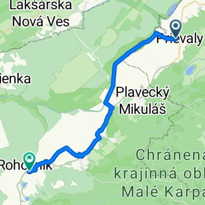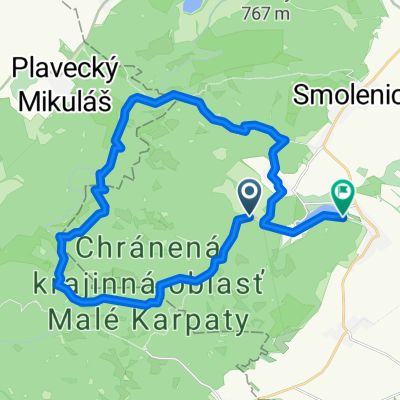
Horný Chríb 32A do Horný Chríb 32A
- 32.2 km
- 442 m
- 488 m
- Smolenice, Trnava Region, Slovakia
A cycling route starting in Smolenice, Trnava Region, Slovakia.
Overview
Hrozna
created this 9 years ago


Route highlights

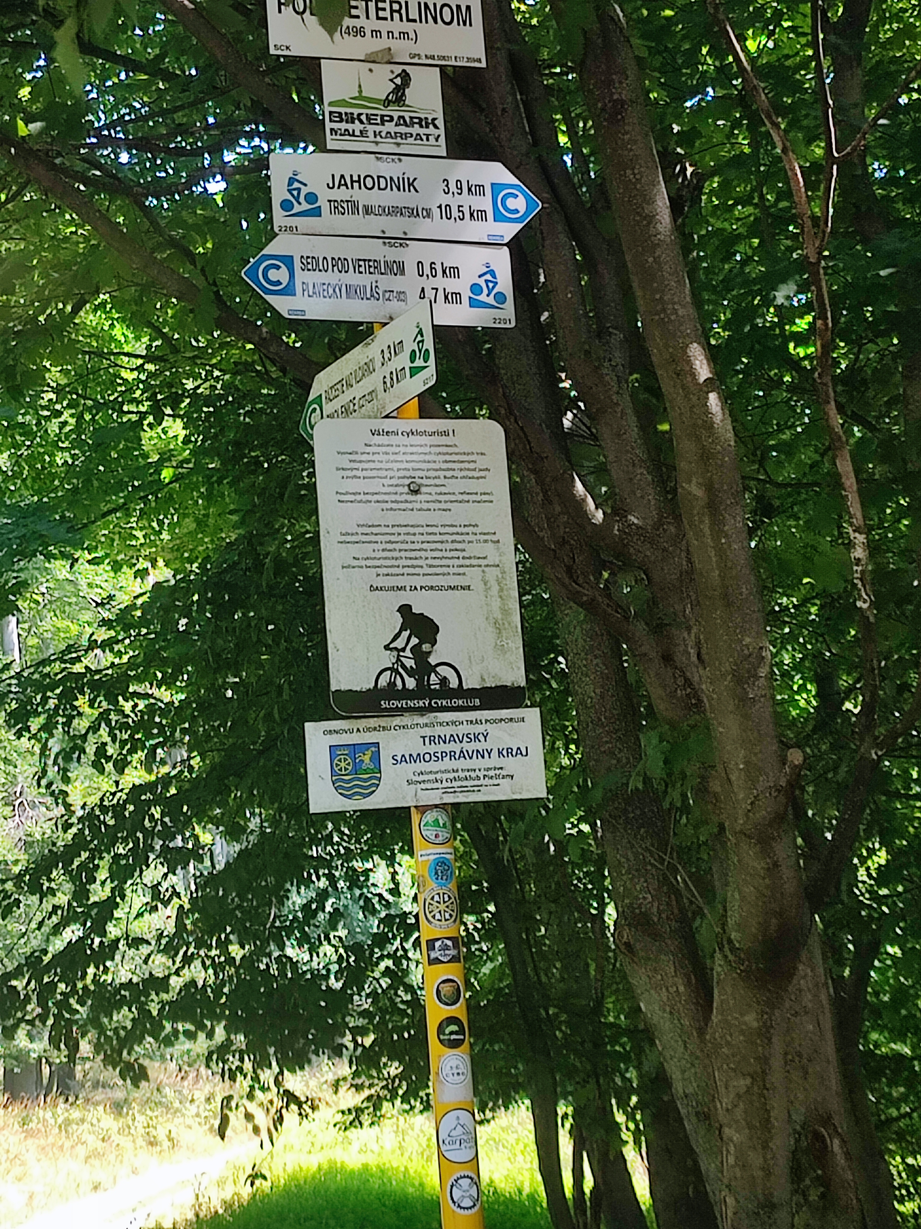
odbocka nikde
Continue with Bikemap
You would like to ride Recording from 8. 5. 2016, 12:30 or customize it for your own trip? Here is what you can do with this Bikemap route:
Free trial for 3 days, or one-time payment. More about Bikemap Premium.
Discover more Premium features.
Get Bikemap PremiumFrom our community
Open it in the app