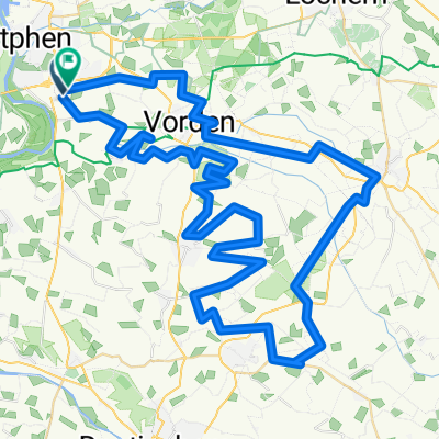
Rondje om de Naald 8 Mei 2016 (definitieve versie)
A cycling route starting in Leesten, Gelderland, The Netherlands.
Overview
About this route
De naald 8 mei (defintieve versie)
- -:--
- Duration
- 85.4 km
- Distance
- 136 m
- Ascent
- 133 m
- Descent
- ---
- Avg. speed
- ---
- Max. altitude
Route quality
Waytypes & surfaces along the route
Waytypes
Road
47 km
(55 %)
Quiet road
24.8 km
(29 %)
Surfaces
Paved
75.2 km
(88 %)
Asphalt
75.2 km
(88 %)
Undefined
10.3 km
(12 %)
Continue with Bikemap
Use, edit, or download this cycling route
You would like to ride Rondje om de Naald 8 Mei 2016 (definitieve versie) or customize it for your own trip? Here is what you can do with this Bikemap route:
Free features
- Save this route as favorite or in collections
- Copy & plan your own version of this route
- Split it into stages to create a multi-day tour
- Sync your route with Garmin or Wahoo
Premium features
Free trial for 3 days, or one-time payment. More about Bikemap Premium.
- Navigate this route on iOS & Android
- Export a GPX / KML file of this route
- Create your custom printout (try it for free)
- Download this route for offline navigation
Discover more Premium features.
Get Bikemap PremiumFrom our community
Other popular routes starting in Leesten
- Vorden Zutphen Vorden
- Distance
- 35.4 km
- Ascent
- 56 m
- Descent
- 57 m
- Location
- Leesten, Gelderland, The Netherlands
- Kop Van Delen
- Distance
- 77.9 km
- Ascent
- 186 m
- Descent
- 185 m
- Location
- Leesten, Gelderland, The Netherlands
- 1e deel van de 3-daagse 2022 van de 1e dag
- Distance
- 61.7 km
- Ascent
- 190 m
- Descent
- 155 m
- Location
- Leesten, Gelderland, The Netherlands
- Test Osmand voor route LOL
- Distance
- 64.2 km
- Ascent
- 34 m
- Descent
- 35 m
- Location
- Leesten, Gelderland, The Netherlands
- Bokbiertocht 2014
- Distance
- 80.4 km
- Ascent
- 12 m
- Descent
- 14 m
- Location
- Leesten, Gelderland, The Netherlands
- Om het Twentekanaal via Grolsch en Veste
- Distance
- 127.6 km
- Ascent
- 86 m
- Descent
- 84 m
- Location
- Leesten, Gelderland, The Netherlands
- Bos route Warnsveld
- Distance
- 14 km
- Ascent
- 46 m
- Descent
- 46 m
- Location
- Leesten, Gelderland, The Netherlands
- peeske
- Distance
- 75.8 km
- Ascent
- 130 m
- Descent
- 132 m
- Location
- Leesten, Gelderland, The Netherlands
Open it in the app