

4 Hügel-Tour
A cycling route starting in Rechtenstein, Baden-Württemberg, Germany.
Overview
About this route
Oberwilzingen, Loretto, Wimsen, Gauingen, Hochberg, Upflamör, Friedingen, Riedlingen, Unlingen, Bussen, Dietelhofen, Reutlingendorf, OM-Sportplatz.
- -:--
- Duration
- 59.7 km
- Distance
- 881 m
- Ascent
- 885 m
- Descent
- ---
- Avg. speed
- ---
- Avg. speed
Route quality
Waytypes & surfaces along the route
Waytypes
Quiet road
29.3 km
(49 %)
Busy road
10.8 km
(18 %)
Surfaces
Paved
39.9 km
(67 %)
Unpaved
2 km
(3 %)
Asphalt
35 km
(59 %)
Paved (undefined)
3.8 km
(6 %)
Continue with Bikemap
Use, edit, or download this cycling route
You would like to ride 4 Hügel-Tour or customize it for your own trip? Here is what you can do with this Bikemap route:
Free features
- Save this route as favorite or in collections
- Copy & plan your own version of this route
- Sync your route with Garmin or Wahoo
Premium features
Free trial for 3 days, or one-time payment. More about Bikemap Premium.
- Navigate this route on iOS & Android
- Export a GPX / KML file of this route
- Create your custom printout (try it for free)
- Download this route for offline navigation
Discover more Premium features.
Get Bikemap PremiumFrom our community
Other popular routes starting in Rechtenstein
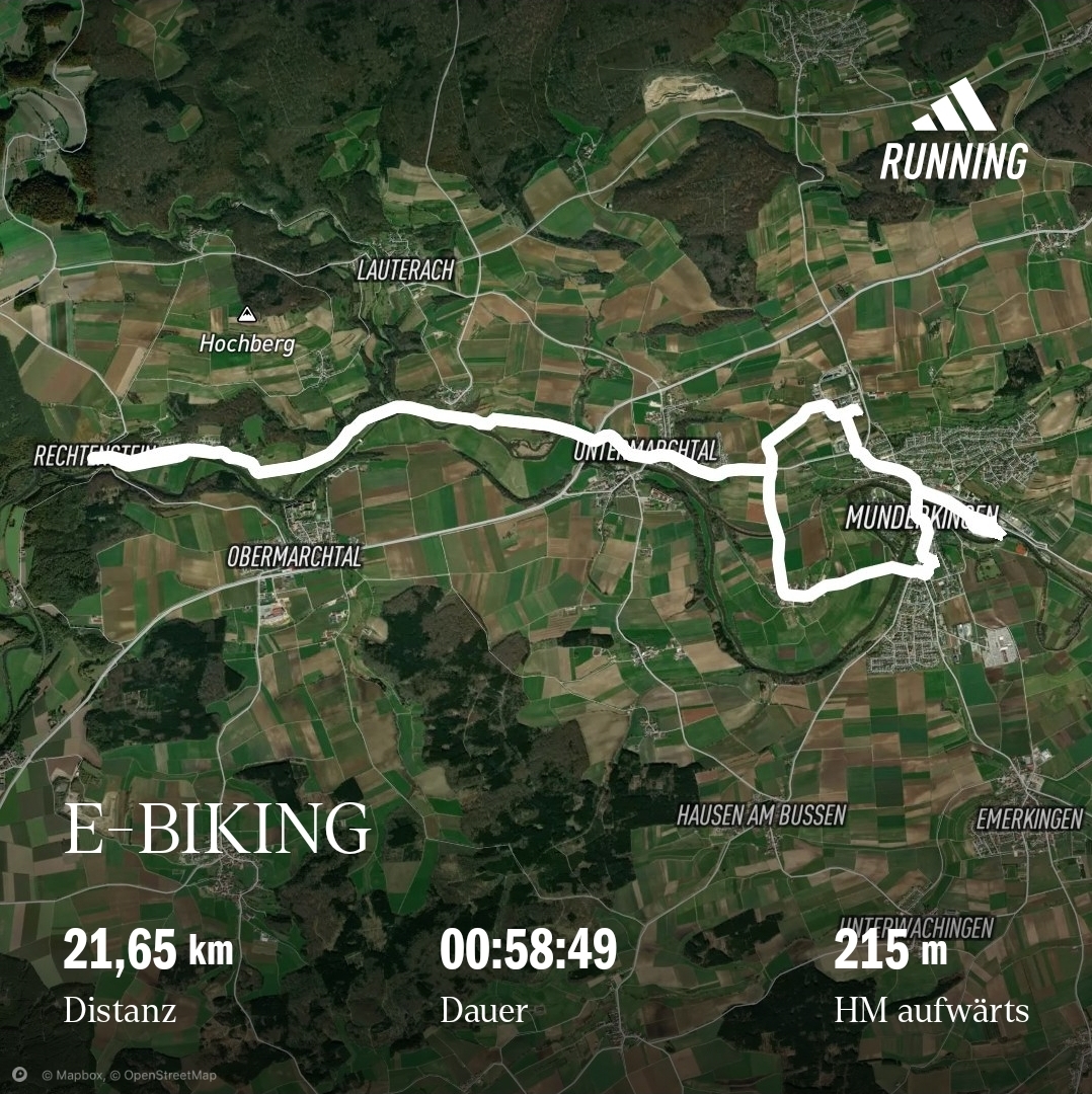 Shopping-Tour
- Distance
- 22.4 km
- Ascent
- 147 m
- Descent
- 198 m
- Location
- Rechtenstein, Baden-Württemberg, Germany
 Vom Lautertal an die Donau
- Distance
- 27.5 km
- Ascent
- 767 m
- Descent
- 650 m
- Location
- Rechtenstein, Baden-Württemberg, Germany
 Lautertal-Runde
- Distance
- 63.6 km
- Ascent
- 382 m
- Descent
- 382 m
- Location
- Rechtenstein, Baden-Württemberg, Germany
 Von Blaubeuren ins Lautertal
- Distance
- 56.4 km
- Ascent
- 373 m
- Descent
- 368 m
- Location
- Rechtenstein, Baden-Württemberg, Germany
 Bussen - Herbertingen - Ehingen
- Distance
- 111.6 km
- Ascent
- 491 m
- Descent
- 491 m
- Location
- Rechtenstein, Baden-Württemberg, Germany
 Unterwilzingen Hütten Kirchen Marchtal
- Distance
- 49.3 km
- Ascent
- 641 m
- Descent
- 656 m
- Location
- Rechtenstein, Baden-Württemberg, Germany
 4 Hügel-Tour
- Distance
- 59.7 km
- Ascent
- 881 m
- Descent
- 885 m
- Location
- Rechtenstein, Baden-Württemberg, Germany
 kl. Täler ums Lautertal
- Distance
- 45.6 km
- Ascent
- 365 m
- Descent
- 365 m
- Location
- Rechtenstein, Baden-Württemberg, Germany
Open it in the app