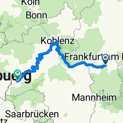
Spessart South-West Part II
- 74.7 km
- 655 m
- 668 m
- Dietzenbach, Hesse, Germany
A cycling route starting in Dietzenbach, Hesse, Germany.
Overview
Short round tour (31km, 190m elevation gain) Dietzenbach, Götzenhain, Darmsatdt, Kalkofen, Eppertshausen, Offenthal, Dietzenbach
created this 9 years ago
Route quality
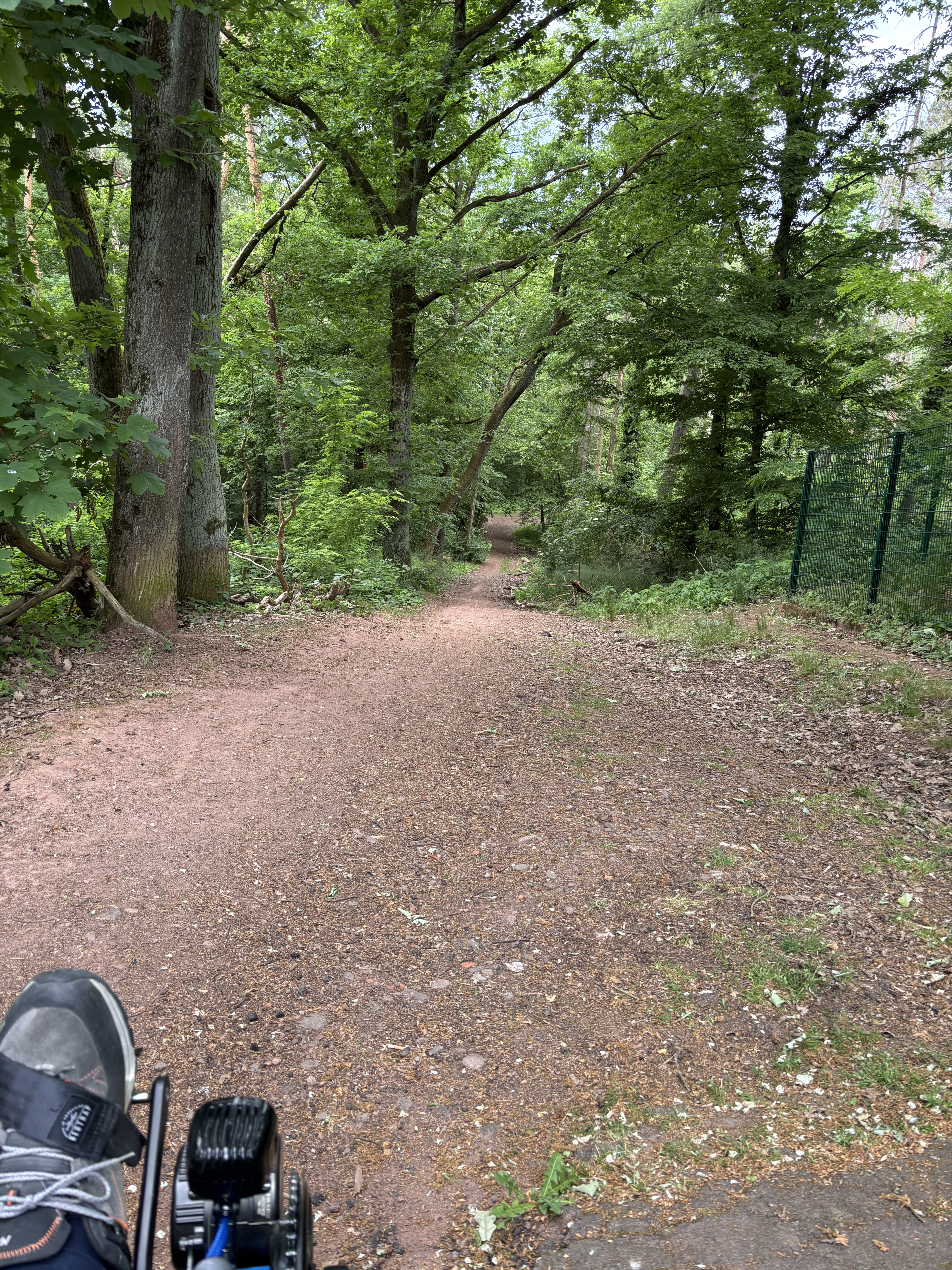
Track
26.7 km
(85 %)
Quiet road
1.9 km
(6 %)
Paved
10.4 km
(33 %)
Unpaved
20.1 km
(64 %)
Gravel
13.8 km
(44 %)
Asphalt
9.4 km
(30 %)
Route highlights
Start
Kalkofen, Brauhäusle - Gartenlokal ideal für Kinder
Continue with Bikemap
You would like to ride Kalkofen und zurück or customize it for your own trip? Here is what you can do with this Bikemap route:
Free trial for 3 days, or one-time payment. More about Bikemap Premium.
Discover more Premium features.
Get Bikemap PremiumFrom our community
Open it in the app