

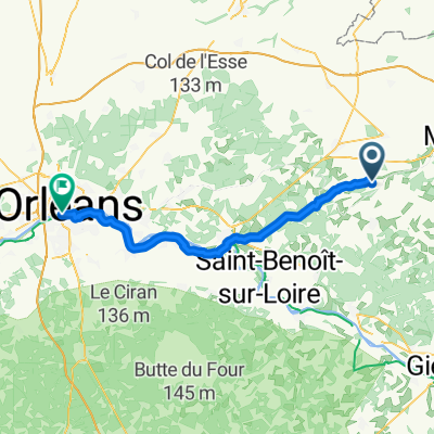
Etappe19
A cycling route starting in Lorris, Centre-Val de Loire, France.
Overview
About this route
- -:--
- Duration
- 64.1 km
- Distance
- 72 m
- Ascent
- 159 m
- Descent
- ---
- Avg. speed
- ---
- Max. altitude
Route quality
Waytypes & surfaces along the route
Waytypes
Road
33.7 km
(53 %)
Quiet road
11 km
(17 %)
Surfaces
Paved
24.2 km
(38 %)
Unpaved
6.8 km
(11 %)
Asphalt
24.2 km
(38 %)
Gravel
6.6 km
(10 %)
Continue with Bikemap
Use, edit, or download this cycling route
You would like to ride Etappe19 or customize it for your own trip? Here is what you can do with this Bikemap route:
Free features
- Save this route as favorite or in collections
- Copy & plan your own version of this route
- Sync your route with Garmin or Wahoo
Premium features
Free trial for 3 days, or one-time payment. More about Bikemap Premium.
- Navigate this route on iOS & Android
- Export a GPX / KML file of this route
- Create your custom printout (try it for free)
- Download this route for offline navigation
Discover more Premium features.
Get Bikemap PremiumFrom our community
Other popular routes starting in Lorris
 Route de Choiseau, Coudroy to Route de Choiseau, Coudroy
- Distance
- 26.9 km
- Ascent
- 25 m
- Descent
- 24 m
- Location
- Lorris, Centre-Val de Loire, France
 Lorris - Orléans
- Distance
- 58.9 km
- Ascent
- 138 m
- Descent
- 137 m
- Location
- Lorris, Centre-Val de Loire, France
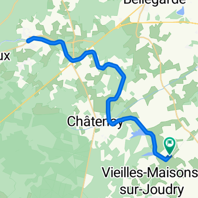
 Lorris - Sandillon
- Distance
- 74.8 km
- Ascent
- 173 m
- Descent
- 189 m
- Location
- Lorris, Centre-Val de Loire, France
 Route de Choiseau, Coudroy to Route de Choiseau, Coudroy
- Distance
- 32 km
- Ascent
- 26 m
- Descent
- 31 m
- Location
- Lorris, Centre-Val de Loire, France
 De 67 Grande Rue, Lorris à 1–3 Avenue du Capitaine Albert, Lorris
- Distance
- 22.8 km
- Ascent
- 69 m
- Descent
- 68 m
- Location
- Lorris, Centre-Val de Loire, France
 Lorris - Orléans
- Distance
- 58.4 km
- Ascent
- 117 m
- Descent
- 132 m
- Location
- Lorris, Centre-Val de Loire, France
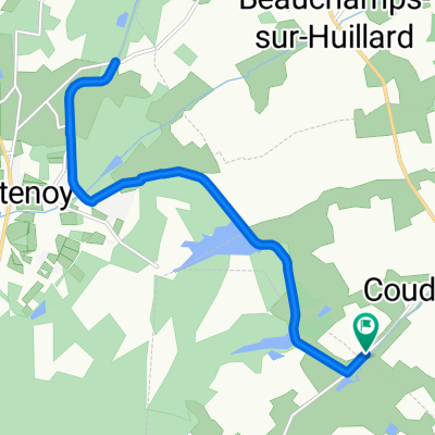 Route de Choiseau, Coudroy to Route de Choiseau, Coudroy
- Distance
- 15.6 km
- Ascent
- 27 m
- Descent
- 26 m
- Location
- Lorris, Centre-Val de Loire, France
 Route de Choiseau, Coudroy to Route de Choiseau, Coudroy
- Distance
- 34.3 km
- Ascent
- 32 m
- Descent
- 28 m
- Location
- Lorris, Centre-Val de Loire, France
Open it in the app