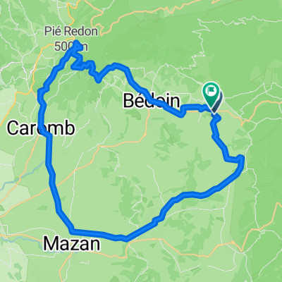
13 Mont-ventoux - Malaucene - Aubignan
- 45.1 km
- 848 m
- 2,667 m
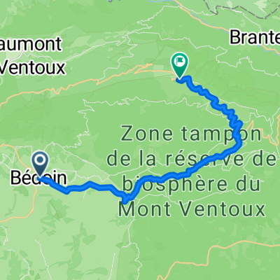
- Bédoin, Provence-Alpes-Côte d'Azur Region, France
A cycling route starting in Bédoin, Provence-Alpes-Côte d'Azur Region, France.
Overview
Day 3
warming up from Bedoin to Maulaucene
Ascend to the top from Maulaucene
Descend to Bedoin
Ascend from Bedoin
Descend to Sault
Ascend from Sault
Desdend to Bedoin
Finish
created this 9 years ago
Route quality
Quiet road
8.7 km
(6 %)
Track
8.7 km
(6 %)
Paved
124 km
(86 %)
Unpaved
4.3 km
(3 %)
Asphalt
122.6 km
(85 %)
Concrete
1.4 km
(1 %)
Continue with Bikemap
You would like to ride Mont Ventoux Challenge ( 3 ) or customize it for your own trip? Here is what you can do with this Bikemap route:
Free trial for 3 days, or one-time payment. More about Bikemap Premium.
Discover more Premium features.
Get Bikemap PremiumFrom our community
Open it in the app