- 30.1 km
- 357 m
- 357 m
- Hopfgarten, Thuringia, Germany
Nordwestlich von Weimar mit Ettersberg
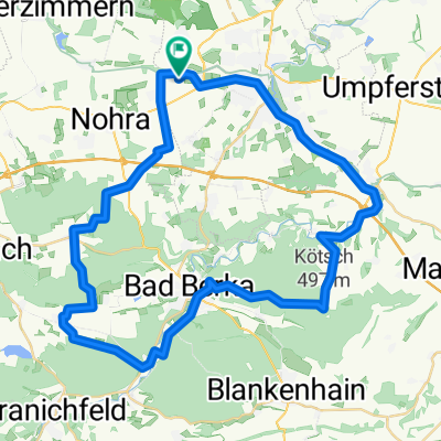
A cycling route starting in Hopfgarten, Thuringia, Germany.
Overview
About this route
From Tröbsdorf to Hopfgarten, then towards Utzberg, passing an old windmill, then to Ottstedt a.B. (path can only be used this way if the Hopfgarten reservoir has very little water, otherwise a small detour via Hopfgarten), then up to Ettersberg, past the camp, along the old railway line towards Schöndorf, from there to Weimar and then back to Tröbsdorf (GPS indicates 414 meters of elevation gain)
- -:--
- Duration
- 30.1 km
- Distance
- 357 m
- Ascent
- 357 m
- Descent
- ---
- Avg. speed
- ---
- Max. altitude
created this 16 years ago
Continue with Bikemap
Use, edit, or download this cycling route
You would like to ride Nordwestlich von Weimar mit Ettersberg or customize it for your own trip? Here is what you can do with this Bikemap route:
Free features
- Save this route as favorite or in collections
- Copy & plan your own version of this route
- Sync your route with Garmin or Wahoo
Premium features
Free trial for 3 days, or one-time payment. More about Bikemap Premium.
- Navigate this route on iOS & Android
- Export a GPX / KML file of this route
- Create your custom printout (try it for free)
- Download this route for offline navigation
Discover more Premium features.
Get Bikemap PremiumFrom our community
Other popular routes starting in Hopfgarten
- Nordwestlich von Weimar mit Ettersberg
- Anbiken 2010
- 23.6 km
- 177 m
- 169 m
- Hopfgarten, Thuringia, Germany
- MTB Südwestlich von Weimar
- 36.8 km
- 432 m
- 432 m
- Hopfgarten, Thuringia, Germany
- 03042010 MB Training
- 50.3 km
- 698 m
- 735 m
- Hopfgarten, Thuringia, Germany
- Weimar - Halle CLONED FROM ROUTE 332382
- 116.5 km
- 136 m
- 288 m
- Hopfgarten, Thuringia, Germany
- Gaberndorf-Bad Sulza-Gaberndorf
- 70.3 km
- 437 m
- 437 m
- Hopfgarten, Thuringia, Germany
- Weima Rosslau
- 165.3 km
- 557 m
- 752 m
- Hopfgarten, Thuringia, Germany
- Weimar - Bad Berka Paulinen Turm Kötsch CLONED FROM ROUTE 1283125
- 49 km
- 568 m
- 568 m
- Hopfgarten, Thuringia, Germany
Open it in the app


