

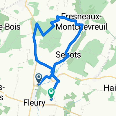
Picardie étape 1
A cycling route starting in Chaumont-en-Vexin, Hauts-de-France, France.
Overview
About this route
- -:--
- Duration
- 147.9 km
- Distance
- 586 m
- Ascent
- 455 m
- Descent
- ---
- Avg. speed
- ---
- Max. altitude
Route quality
Waytypes & surfaces along the route
Waytypes
Road
35.5 km
(24 %)
Quiet road
8.9 km
(6 %)
Surfaces
Paved
16.3 km
(11 %)
Asphalt
16.3 km
(11 %)
Undefined
131.7 km
(89 %)
Continue with Bikemap
Use, edit, or download this cycling route
You would like to ride Picardie étape 1 or customize it for your own trip? Here is what you can do with this Bikemap route:
Free features
- Save this route as favorite or in collections
- Copy & plan your own version of this route
- Split it into stages to create a multi-day tour
- Sync your route with Garmin or Wahoo
Premium features
Free trial for 3 days, or one-time payment. More about Bikemap Premium.
- Navigate this route on iOS & Android
- Export a GPX / KML file of this route
- Create your custom printout (try it for free)
- Download this route for offline navigation
Discover more Premium features.
Get Bikemap PremiumFrom our community
Other popular routes starting in Chaumont-en-Vexin
 De 1–15 Route de Dieppe, Boubiers à Rue de Bréançon, Cormeilles-en-Vexin
- Distance
- 18.1 km
- Ascent
- 156 m
- Descent
- 160 m
- Location
- Chaumont-en-Vexin, Hauts-de-France, France
 Restful route in Liancourt-Saint-Pierre
- Distance
- 16.7 km
- Ascent
- 45 m
- Descent
- 171 m
- Location
- Chaumont-en-Vexin, Hauts-de-France, France
 De Le Vivier à La Sente du Vivier
- Distance
- 13.1 km
- Ascent
- 98 m
- Descent
- 98 m
- Location
- Chaumont-en-Vexin, Hauts-de-France, France
 D 153, La Corne en Vexin à 2 Rue Pierre Budin, Chaumont-en-Vexin
- Distance
- 56.8 km
- Ascent
- 525 m
- Descent
- 554 m
- Location
- Chaumont-en-Vexin, Hauts-de-France, France
 Fleury à Gerberoy version modifiée
- Distance
- 64.1 km
- Ascent
- 467 m
- Descent
- 371 m
- Location
- Chaumont-en-Vexin, Hauts-de-France, France
 De 8ter Rue des Cèdres, Thibivillers à 8T Rue des Cèdres, Thibivillers
- Distance
- 18.2 km
- Ascent
- 1,010 m
- Descent
- 1,012 m
- Location
- Chaumont-en-Vexin, Hauts-de-France, France
 VELO2021_JOUR3
- Distance
- 94.5 km
- Ascent
- 508 m
- Descent
- 485 m
- Location
- Chaumont-en-Vexin, Hauts-de-France, France
 Moderate route in Boubiers
- Distance
- 18.7 km
- Ascent
- 56 m
- Descent
- 183 m
- Location
- Chaumont-en-Vexin, Hauts-de-France, France
Open it in the app