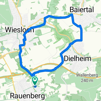
Rauenberg kurze Mannaberg Runde
A cycling route starting in Rauenberg, Baden-Wurttemberg, Germany.
Overview
About this route
Just a quick trip up Mannaberg, about 60 meters of elevation
- -:--
- Duration
- 3.6 km
- Distance
- 85 m
- Ascent
- 84 m
- Descent
- ---
- Avg. speed
- 188 m
- Max. altitude
Route quality
Waytypes & surfaces along the route
Waytypes
Track
2.3 km
(64 %)
Quiet road
1.3 km
(36 %)
Surfaces
Paved
3 km
(83 %)
Paved (undefined)
2.3 km
(65 %)
Asphalt
0.6 km
(18 %)
Undefined
0.6 km
(17 %)
Continue with Bikemap
Use, edit, or download this cycling route
You would like to ride Rauenberg kurze Mannaberg Runde or customize it for your own trip? Here is what you can do with this Bikemap route:
Free features
- Save this route as favorite or in collections
- Copy & plan your own version of this route
- Sync your route with Garmin or Wahoo
Premium features
Free trial for 3 days, or one-time payment. More about Bikemap Premium.
- Navigate this route on iOS & Android
- Export a GPX / KML file of this route
- Create your custom printout (try it for free)
- Download this route for offline navigation
Discover more Premium features.
Get Bikemap PremiumFrom our community
Other popular routes starting in Rauenberg
- Kraichgauroute Rauenberg-Eschelbach-Rauenberg
- Distance
- 20.2 km
- Ascent
- 161 m
- Descent
- 159 m
- Location
- Rauenberg, Baden-Wurttemberg, Germany
- Kraichgaurunde
- Distance
- 93.3 km
- Ascent
- 971 m
- Descent
- 927 m
- Location
- Rauenberg, Baden-Wurttemberg, Germany
- Rauenberg - kurze Frauenweiler Runde
- Distance
- 10.2 km
- Ascent
- 34 m
- Descent
- 41 m
- Location
- Rauenberg, Baden-Wurttemberg, Germany
- Rauenberg - Wiesloch Weinberge
- Distance
- 12 km
- Ascent
- 79 m
- Descent
- 80 m
- Location
- Rauenberg, Baden-Wurttemberg, Germany
- Rauenberg - Eschelbach - Balzfeld Runde
- Distance
- 24.1 km
- Ascent
- 195 m
- Descent
- 194 m
- Location
- Rauenberg, Baden-Wurttemberg, Germany
- Angelbachtal
- Distance
- 43.9 km
- Ascent
- 273 m
- Descent
- 273 m
- Location
- Rauenberg, Baden-Wurttemberg, Germany
- Rauenberg-Eichtersheim-Östringen
- Distance
- 27 km
- Ascent
- 198 m
- Descent
- 197 m
- Location
- Rauenberg, Baden-Wurttemberg, Germany
- Rauenberg - Schatthausen -Oberhof Runde
- Distance
- 19.8 km
- Ascent
- 206 m
- Descent
- 202 m
- Location
- Rauenberg, Baden-Wurttemberg, Germany
Open it in the app