Tour des aravis avec Mt Charvin curta
- 76.1 km
- 1,683 m
- 1,683 m
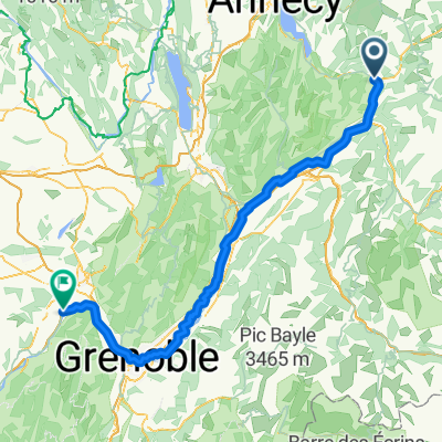
- Ugine, Auvergne-Rhône-Alpes, France
A cycling route starting in Ugine, Auvergne-Rhône-Alpes, France.
Overview
Parking area and starting point: Ugine
Col de la Forclaz (870 m; *)
Col de Pré (1748 m)
Cornet de Roselend (1968 m; ***)
approx. 130 km
created this 9 years ago
Continue with Bikemap
You would like to ride Westalpen Etappe 01 - Ugine or customize it for your own trip? Here is what you can do with this Bikemap route:
Free trial for 3 days, or one-time payment. More about Bikemap Premium.
Discover more Premium features.
Get Bikemap PremiumFrom our community
Open it in the app