

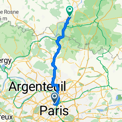
001-Paris-La Rochelle
A cycling route starting in Saint-Ouen, Île-de-France Region, France.
Overview
About this route
- -:--
- Duration
- 492.2 km
- Distance
- 526 m
- Ascent
- 588 m
- Descent
- ---
- Avg. speed
- ---
- Max. altitude

Route quality
Waytypes & surfaces along the route
Waytypes
Road
216.6 km
(44 %)
Quiet road
137.8 km
(28 %)
Surfaces
Paved
177.2 km
(36 %)
Unpaved
19.7 km
(4 %)
Asphalt
172.3 km
(35 %)
Gravel
19.7 km
(4 %)
Continue with Bikemap
Use, edit, or download this cycling route
You would like to ride 001-Paris-La Rochelle or customize it for your own trip? Here is what you can do with this Bikemap route:
Free features
- Save this route as favorite or in collections
- Copy & plan your own version of this route
- Split it into stages to create a multi-day tour
- Sync your route with Garmin or Wahoo
Premium features
Free trial for 3 days, or one-time payment. More about Bikemap Premium.
- Navigate this route on iOS & Android
- Export a GPX / KML file of this route
- Create your custom printout (try it for free)
- Download this route for offline navigation
Discover more Premium features.
Get Bikemap PremiumFrom our community
Other popular routes starting in Saint-Ouen
 Paris-SaintDenis-StadedeFrance-Paris
- Distance
- 16.8 km
- Ascent
- 42 m
- Descent
- 42 m
- Location
- Saint-Ouen, Île-de-France Region, France
 Parcours REcycloTour 2016
- Distance
- 36.7 km
- Ascent
- 110 m
- Descent
- 113 m
- Location
- Saint-Ouen, Île-de-France Region, France
 RECYCLOTOUR 2017
- Distance
- 36.4 km
- Ascent
- 125 m
- Descent
- 125 m
- Location
- Saint-Ouen, Île-de-France Region, France
 Spaziergang Montmartre ohne Weinberg
- Distance
- 2.3 km
- Ascent
- 62 m
- Descent
- 62 m
- Location
- Saint-Ouen, Île-de-France Region, France
 Recovered Route
- Distance
- 242.4 km
- Ascent
- 2,069 m
- Descent
- 2,006 m
- Location
- Saint-Ouen, Île-de-France Region, France
 Fixie Lourcq Meaux boucle Marne 110 Km
- Distance
- 110.2 km
- Ascent
- 274 m
- Descent
- 273 m
- Location
- Saint-Ouen, Île-de-France Region, France
 Le Tour des Flandres | 05.07.2015
- Distance
- 12.7 km
- Ascent
- 149 m
- Descent
- 105 m
- Location
- Saint-Ouen, Île-de-France Region, France
 Day 1 - Paris to Chantilly (camping at Saint-Leu- d'Esserent)
- Distance
- 52.5 km
- Ascent
- 371 m
- Descent
- 401 m
- Location
- Saint-Ouen, Île-de-France Region, France
Open it in the app