

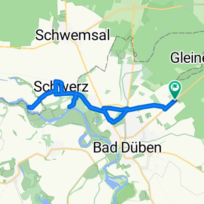
Muldestausee -_ Bitterfeld am 6.Mai
A cycling route starting in Bad Düben, Saxony, Germany.
Overview
About this route
From Schwemsal via Schwerz to the Mulde reservoir. Stop in Bitterfeld at the water level tower. Return via Krina.
- -:--
- Duration
- 46.1 km
- Distance
- 144 m
- Ascent
- 136 m
- Descent
- ---
- Avg. speed
- ---
- Max. altitude
Route quality
Waytypes & surfaces along the route
Waytypes
Track
25.4 km
(55 %)
Quiet road
6.9 km
(15 %)
Surfaces
Paved
21.7 km
(47 %)
Unpaved
15.7 km
(34 %)
Asphalt
19.4 km
(42 %)
Gravel
5.1 km
(11 %)
Route highlights
Points of interest along the route
Point of interest after 13.3 km
AUSSICHT
Continue with Bikemap
Use, edit, or download this cycling route
You would like to ride Muldestausee -_ Bitterfeld am 6.Mai or customize it for your own trip? Here is what you can do with this Bikemap route:
Free features
- Save this route as favorite or in collections
- Copy & plan your own version of this route
- Sync your route with Garmin or Wahoo
Premium features
Free trial for 3 days, or one-time payment. More about Bikemap Premium.
- Navigate this route on iOS & Android
- Export a GPX / KML file of this route
- Create your custom printout (try it for free)
- Download this route for offline navigation
Discover more Premium features.
Get Bikemap PremiumFrom our community
Other popular routes starting in Bad Düben
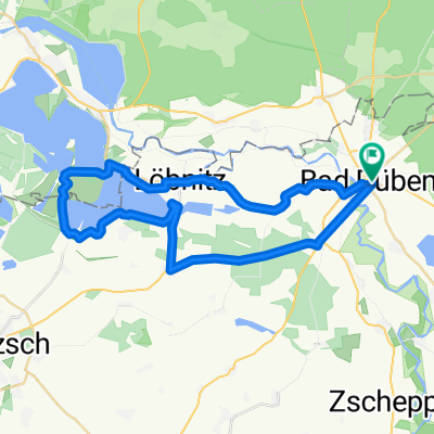 Bad Düben - Seelhausener See und zurück
- Distance
- 39.9 km
- Ascent
- 58 m
- Descent
- 58 m
- Location
- Bad Düben, Saxony, Germany
 Muldestausee -_ Bitterfeld am 6.Mai
- Distance
- 46.1 km
- Ascent
- 144 m
- Descent
- 136 m
- Location
- Bad Düben, Saxony, Germany
 Düben-Torgau-Domitsch-Kemberg-Düben
- Distance
- 109.9 km
- Ascent
- 223 m
- Descent
- 223 m
- Location
- Bad Düben, Saxony, Germany
 Bad Düben / Mulderadweg
- Distance
- 37.2 km
- Ascent
- 36 m
- Descent
- 39 m
- Location
- Bad Düben, Saxony, Germany
 Bad Düben - Bad Schmiedeberg Lausiger Teich
- Distance
- 26.7 km
- Ascent
- 207 m
- Descent
- 207 m
- Location
- Bad Düben, Saxony, Germany
 3 Stunden Tour Dübener Heide
- Distance
- 94.7 km
- Ascent
- 365 m
- Descent
- 324 m
- Location
- Bad Düben, Saxony, Germany
 Gefahrener Track Bad Düben
- Distance
- 53.6 km
- Ascent
- 254 m
- Descent
- 254 m
- Location
- Bad Düben, Saxony, Germany
 Rotes Ufer Tour
- Distance
- 13.8 km
- Ascent
- 49 m
- Descent
- 58 m
- Location
- Bad Düben, Saxony, Germany
Open it in the app