

Tour de Pologne 2016 Stage 4: 218 km Nowy Sacz - Rzeszów/Podkarpackie
A cycling route starting in Nowy Sącz, Lesser Poland Voivodeship, Poland.
Overview
About this route
{Friday, 15 July}
Nowy Sącz is the only town to host the peloton of the 73rd Tour de Pologne for two days. The riders had a chance yesterday to appreciate the fantastic atmosphere of this, one of the most beautiful towns in the Małopolska region. Today, they start from Nowy Sącz’s Market Square to follow the route of the fourth stage (218 km) to Rzeszów. This hilly stretch runs through scenic areas of the Małopolska and Podkarpacie region. This route includes mountain primes in Zaklikówka, the municipality of Lubenia and Jasienniki. Upon arrival in Rzeszów, the riders will make three 6 km laps and will finish on Cieplińskiego Street.
- Stage description from official Tour de Pologne Website
Stage overview
- -:--
- Duration
- 201.6 km
- Distance
- 1,190 m
- Ascent
- 1,345 m
- Descent
- ---
- Avg. speed
- ---
- Max. altitude

Route quality
Waytypes & surfaces along the route
Waytypes
Busy road
77.3 km
(38 %)
Road
46.3 km
(23 %)
Surfaces
Paved
171.5 km
(85 %)
Unpaved
4.8 km
(2 %)
Asphalt
165 km
(82 %)
Paving stones
4.3 km
(2 %)
Continue with Bikemap
Use, edit, or download this cycling route
You would like to ride Tour de Pologne 2016 Stage 4: 218 km Nowy Sacz - Rzeszów/Podkarpackie or customize it for your own trip? Here is what you can do with this Bikemap route:
Free features
- Save this route as favorite or in collections
- Copy & plan your own version of this route
- Split it into stages to create a multi-day tour
- Sync your route with Garmin or Wahoo
Premium features
Free trial for 3 days, or one-time payment. More about Bikemap Premium.
- Navigate this route on iOS & Android
- Export a GPX / KML file of this route
- Create your custom printout (try it for free)
- Download this route for offline navigation
Discover more Premium features.
Get Bikemap PremiumFrom our community
Other popular routes starting in Nowy Sącz
 Aktywna majówka z FitNation 2.05.2016 r
- Distance
- 53.5 km
- Ascent
- 829 m
- Descent
- 828 m
- Location
- Nowy Sącz, Lesser Poland Voivodeship, Poland
 R Kurów
- Distance
- 26.3 km
- Ascent
- 191 m
- Descent
- 193 m
- Location
- Nowy Sącz, Lesser Poland Voivodeship, Poland
 Easy ride in Stary Sącz
- Distance
- 18 km
- Ascent
- 138 m
- Descent
- 59 m
- Location
- Nowy Sącz, Lesser Poland Voivodeship, Poland
 do lasku falkowa
- Distance
- 17.7 km
- Ascent
- 210 m
- Descent
- 224 m
- Location
- Nowy Sącz, Lesser Poland Voivodeship, Poland
 okolice zeleznikowej
- Distance
- 18.1 km
- Ascent
- 251 m
- Descent
- 253 m
- Location
- Nowy Sącz, Lesser Poland Voivodeship, Poland
 skałki
- Distance
- 0.9 km
- Ascent
- 23 m
- Descent
- 0 m
- Location
- Nowy Sącz, Lesser Poland Voivodeship, Poland
 krynica
- Distance
- 104.4 km
- Ascent
- 697 m
- Descent
- 703 m
- Location
- Nowy Sącz, Lesser Poland Voivodeship, Poland
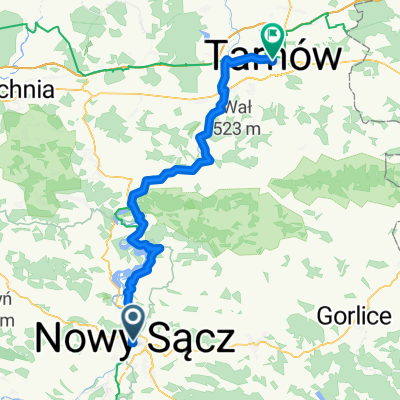 Nowy Sacz - Tarnow
- Distance
- 79.8 km
- Ascent
- 1,104 m
- Descent
- 1,176 m
- Location
- Nowy Sącz, Lesser Poland Voivodeship, Poland
Open it in the app