

Tour de Pologne 2016 Stage 5: 225 km Wieliczka - Zakopane
A cycling route starting in Wieliczka, Lesser Poland Voivodeship, Poland.
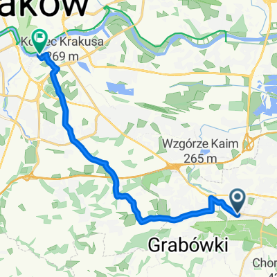
Overview
About this route
{Saturday, 16 July}
After two flat and two hilly stages, the 73rd Tour de Pologne enters mountainous terrain. The riders will start 5th stage in Wieliczka, a town for many years associated with Polish national race. Winners of individual stages receive souvenir sculptures made of salt from the Wieliczka salt mine. The hardest part of this stage are two 50-km laps around the town of Zakopane. These include mountain primes at Kościelisko Butorowy Wierch, Ząb and Głodówka and sprint primes in Poronin and Kościelisko. In line with tradition, the finishing line is at Wielka Krokiew, ski jumping hill.
- Stage description from official Tour de Pologne Website
Stage overview
- -:--
- Duration
- 171.9 km
- Distance
- 2,304 m
- Ascent
- 1,755 m
- Descent
- ---
- Avg. speed
- ---
- Max. altitude

Route quality
Waytypes & surfaces along the route
Waytypes
Road
49.8 km
(29 %)
Quiet road
25.8 km
(15 %)
Surfaces
Paved
147.8 km
(86 %)
Unpaved
1.7 km
(1 %)
Asphalt
147.8 km
(86 %)
Ground
1.7 km
(1 %)
Undefined
22.3 km
(13 %)
Continue with Bikemap
Use, edit, or download this cycling route
You would like to ride Tour de Pologne 2016 Stage 5: 225 km Wieliczka - Zakopane or customize it for your own trip? Here is what you can do with this Bikemap route:
Free features
- Save this route as favorite or in collections
- Copy & plan your own version of this route
- Split it into stages to create a multi-day tour
- Sync your route with Garmin or Wahoo
Premium features
Free trial for 3 days, or one-time payment. More about Bikemap Premium.
- Navigate this route on iOS & Android
- Export a GPX / KML file of this route
- Create your custom printout (try it for free)
- Download this route for offline navigation
Discover more Premium features.
Get Bikemap PremiumFrom our community
Other popular routes starting in Wieliczka
 wieliczka-kraków spokojna trasa 1
- Distance
- 13.8 km
- Ascent
- 156 m
- Descent
- 196 m
- Location
- Wieliczka, Lesser Poland Voivodeship, Poland
 Czerwony szlak okrężny Gminy Wieliczka
- Distance
- 24.5 km
- Ascent
- 466 m
- Descent
- 464 m
- Location
- Wieliczka, Lesser Poland Voivodeship, Poland
 Rowerowy Pierścień Solny
- Distance
- 91.9 km
- Ascent
- 395 m
- Descent
- 428 m
- Location
- Wieliczka, Lesser Poland Voivodeship, Poland
 Łąkowa 11B, Wieliczka do Ochmanów
- Distance
- 48.8 km
- Ascent
- 328 m
- Descent
- 307 m
- Location
- Wieliczka, Lesser Poland Voivodeship, Poland
 Puszcza
- Distance
- 19.9 km
- Ascent
- 97 m
- Descent
- 149 m
- Location
- Wieliczka, Lesser Poland Voivodeship, Poland
 Daniłowicza 2w, Wieliczka do Daniłowicza 2w, Wieliczka
- Distance
- 24.4 km
- Ascent
- 565 m
- Descent
- 566 m
- Location
- Wieliczka, Lesser Poland Voivodeship, Poland
 Tour de Pologne 2016 Stage 5: 225 km Wieliczka - Zakopane
- Distance
- 171.9 km
- Ascent
- 2,304 m
- Descent
- 1,755 m
- Location
- Wieliczka, Lesser Poland Voivodeship, Poland
 Kraków - Dobczyce - Mszana
- Distance
- 120.3 km
- Ascent
- 1,059 m
- Descent
- 1,095 m
- Location
- Wieliczka, Lesser Poland Voivodeship, Poland
Open it in the app