- 162.8 km
- 2,729 m
- 2,711 m
- Oberwiesenthal, Saxony, Germany
Krušné hory dle Krausáka
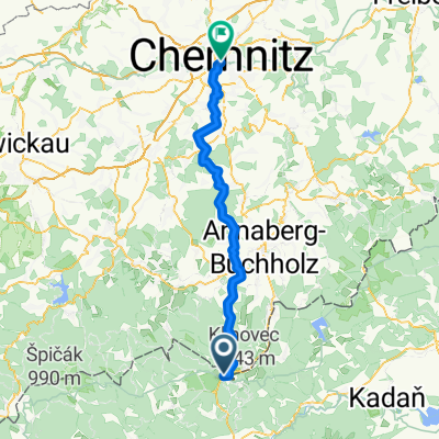
A cycling route starting in Oberwiesenthal, Saxony, Germany.
Overview
About this route
Warning - very limited options for refreshments!!! You can eat only at: Boží Dar, Horní Blatná, Nové Hamry, Abertamy, Hřebečná.
- -:--
- Duration
- 82.1 km
- Distance
- 1,151 m
- Ascent
- 1,136 m
- Descent
- ---
- Avg. speed
- ---
- Max. altitude
created this 9 years ago
Route quality
Waytypes & surfaces along the route
Waytypes
Track
51.7 km
(63 %)
Road
24.6 km
(30 %)
Surfaces
Paved
36.1 km
(44 %)
Unpaved
35.3 km
(43 %)
Asphalt
28.7 km
(35 %)
Gravel
21.4 km
(26 %)
Route highlights
Points of interest along the route

Point of interest after 10.7 km
Obnovená kaple v místě kde stávala vesnice

Point of interest after 16.9 km
Rozhledna s bývalým cínovým dolem s celoročním sněhem tzv. Ledová jáma

Point of interest after 32.6 km
Dochovaný cínový důl s koncentračním táborem

Point of interest after 39.1 km
Bývalá obec Chaloupky - jedno z nejkrásnějších míst západních Krušných hor

Point of interest after 49.8 km
Rozhledna Tisovský vrch - výhled stojí za to...

Point of interest after 71.5 km
Důl Mauricius s prohlídkou

Point of interest after 74.7 km
Mrtvý rybník - přírodní rezervace Božídarské rašeliniště
Continue with Bikemap
Use, edit, or download this cycling route
You would like to ride Krušné hory dle Krausáka or customize it for your own trip? Here is what you can do with this Bikemap route:
Free features
- Save this route as favorite or in collections
- Copy & plan your own version of this route
- Split it into stages to create a multi-day tour
- Sync your route with Garmin or Wahoo
Premium features
Free trial for 3 days, or one-time payment. More about Bikemap Premium.
- Navigate this route on iOS & Android
- Export a GPX / KML file of this route
- Create your custom printout (try it for free)
- Download this route for offline navigation
Discover more Premium features.
Get Bikemap PremiumFrom our community
Other popular routes starting in Oberwiesenthal
- Stoneman
- 2010-05_doškolení
- 23.1 km
- 452 m
- 454 m
- Oberwiesenthal, Saxony, Germany
- Oberwiesenthal
- 74.9 km
- 1,053 m
- 1,053 m
- Oberwiesenthal, Saxony, Germany
- 58 km, 1200 Hm: Bozi Dar - Ostrov - Boc - Keilberg - Fichtelberg
- 58.1 km
- 1,108 m
- 1,108 m
- Oberwiesenthal, Saxony, Germany
- North Trail, Gottesgab nach Markt, Chemnitz
- 64.7 km
- 762 m
- 1,483 m
- Oberwiesenthal, Saxony, Germany
- MTBO karel 2012
- 36.7 km
- 489 m
- 489 m
- Oberwiesenthal, Saxony, Germany
- rodewisch (vogtl.)-coswig/sa.,2.etappe zur quelle der freiberger mulde
- 93.2 km
- 939 m
- 1,348 m
- Oberwiesenthal, Saxony, Germany
- V okolí Božídarského rašeliniště
- 17.8 km
- 233 m
- 248 m
- Oberwiesenthal, Saxony, Germany
Open it in the app


