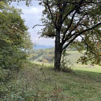
4 Kaiserstuhlpässe
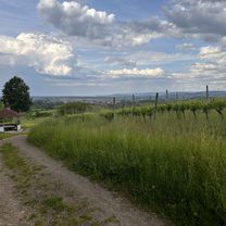
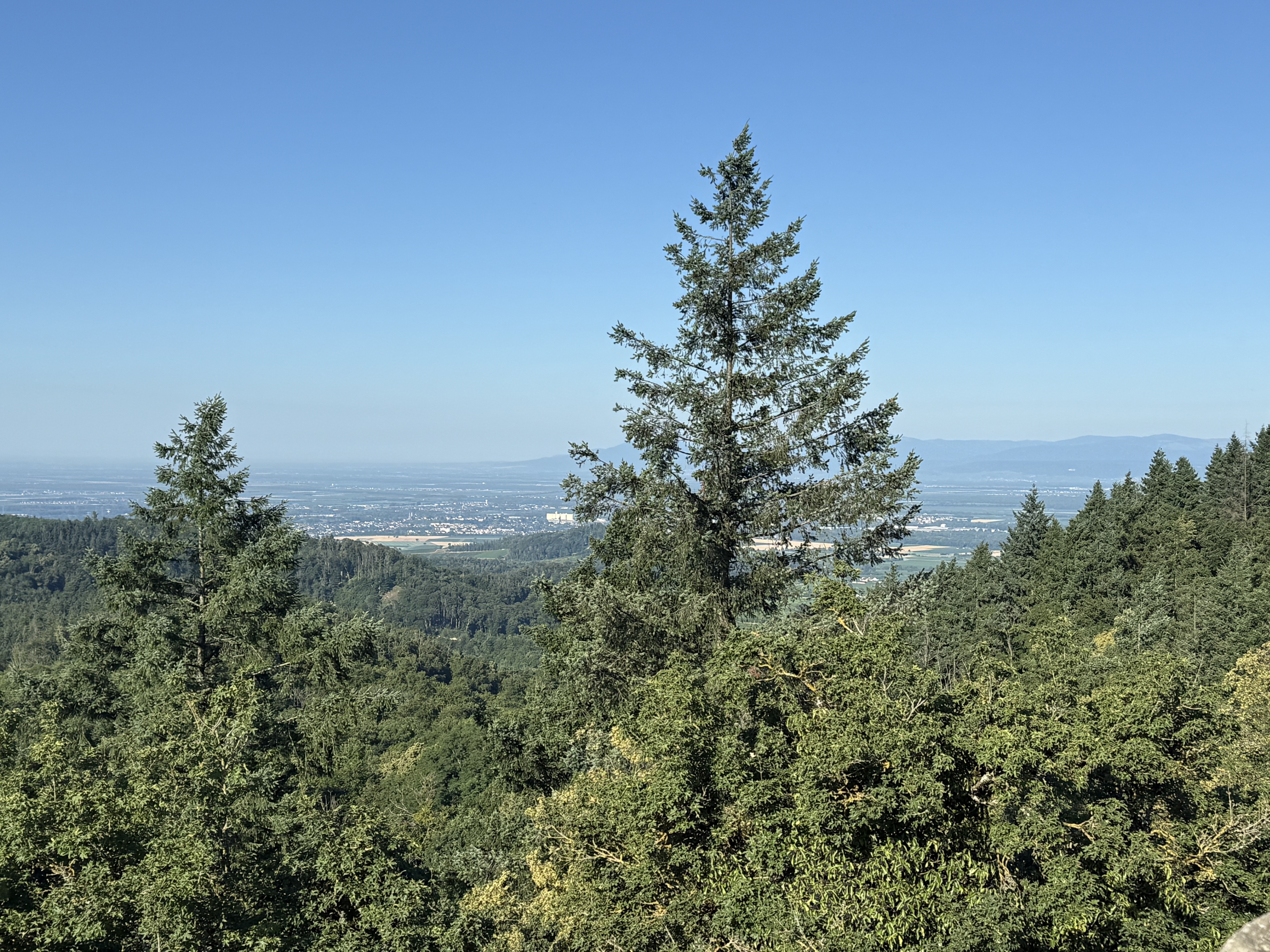
A cycling route starting in Ihringen, Baden-Württemberg, Germany.
Overview
About this route
Ihringen ist Startpunkt:
Katzensteigbuck - Texaspass - Schelingermatte - Vogelsangpass.
Flache Passage wieder zurück nach Ihringen. Verglichen mit den Schwarzwaldbergen alles rel. kurz teils aber schon im zweistelligen Prozentbreich.
- -:--
- Duration
- 39.8 km
- Distance
- 857 m
- Ascent
- 858 m
- Descent
- ---
- Avg. speed
- 452 m
- Max. altitude
Route quality
Waytypes & surfaces along the route
Waytypes
Road
16.7 km
(42 %)
Busy road
13 km
(33 %)
Surfaces
Paved
28.4 km
(71 %)
Unpaved
0.2 km
(<1 %)
Asphalt
24.5 km
(62 %)
Paved (undefined)
3.8 km
(10 %)
Continue with Bikemap
Use, edit, or download this cycling route
You would like to ride 4 Kaiserstuhlpässe or customize it for your own trip? Here is what you can do with this Bikemap route:
Free features
- Save this route as favorite or in collections
- Copy & plan your own version of this route
- Sync your route with Garmin or Wahoo
Premium features
Free trial for 3 days, or one-time payment. More about Bikemap Premium.
- Navigate this route on iOS & Android
- Export a GPX / KML file of this route
- Create your custom printout (try it for free)
- Download this route for offline navigation
Discover more Premium features.
Get Bikemap PremiumFrom our community
Other popular routes starting in Ihringen
- Kaiserstuhl Rundtour MTB
- Distance
- 67.1 km
- Ascent
- 1,188 m
- Descent
- 1,188 m
- Location
- Ihringen, Baden-Württemberg, Germany
- 4 Kaiserstuhlpässe
- Distance
- 39.8 km
- Ascent
- 857 m
- Descent
- 858 m
- Location
- Ihringen, Baden-Württemberg, Germany
- Colmar-67km-250Hm
- Distance
- 103.8 km
- Ascent
- 201 m
- Descent
- 200 m
- Location
- Ihringen, Baden-Württemberg, Germany
- Dreisam-57km-290Hm
- Distance
- 57.7 km
- Ascent
- 215 m
- Descent
- 213 m
- Location
- Ihringen, Baden-Württemberg, Germany
- Ihringen Bodmann-Ludwigshafen
- Distance
- 134.2 km
- Ascent
- 1,154 m
- Descent
- 946 m
- Location
- Ihringen, Baden-Württemberg, Germany
- Tuniberg und Liliental-38km-380Hm
- Distance
- 39 km
- Ascent
- 408 m
- Descent
- 409 m
- Location
- Ihringen, Baden-Württemberg, Germany
- Ihringen-Kaiserstuhlrunde (durch den Rheinwald) - Ihringen-Kaiserstuhlrunde (durch den Rheinwald)
- Distance
- 53.8 km
- Ascent
- 187 m
- Descent
- 186 m
- Location
- Ihringen, Baden-Württemberg, Germany
- Luisenhöhe-58km-850Hm
- Distance
- 72.7 km
- Ascent
- 1,357 m
- Descent
- 1,357 m
- Location
- Ihringen, Baden-Württemberg, Germany
Open it in the app