


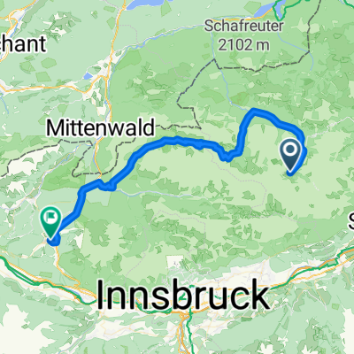
Engalm - Lenggries
A cycling route starting in Gnadenwald, Tyrol, Austria.
Overview
About this route
2
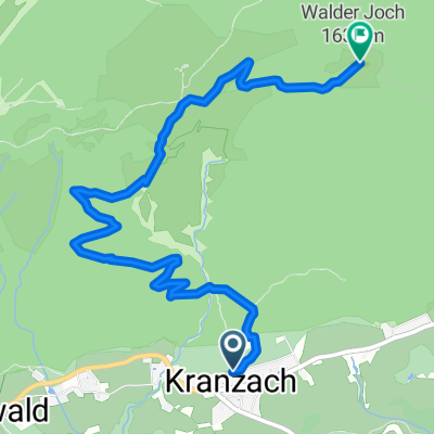
Hinterriß - Vorderriß - Isarradweg: Sylvensteinersee - Fall - Lenggries
- -:--
- Duration
- 47.6 km
- Distance
- 138 m
- Ascent
- 670 m
- Descent
- ---
- Avg. speed
- ---
- Max. altitude
Margarete Margot
created this 10 years ago
Route quality
Waytypes & surfaces along the route
Waytypes
Road
24.3 km
51 %
Cycleway
10 km
21 %
Surfaces
Paved
45.2 km
(95 %)
Unpaved
1.4 km
(3 %)
Asphalt
45.2 km
95 %
Loose gravel
1 km
2 %
Continue with Bikemap
Use, edit, or download this cycling route
You would like to ride Engalm - Lenggries or customize it for your own trip? Here is what you can do with this Bikemap route:
Free features
- Save this route as favorite or in collections
- Copy & plan your own version of this route
- Sync your route with Garmin or Wahoo
Premium features
Free trial for 3 days, or one-time payment. More about Bikemap Premium.
- Navigate this route on iOS & Android
- Export a GPX / KML file of this route
- Create your custom printout (try it for free)
- Download this route for offline navigation
Discover more Premium features.
Get Bikemap PremiumFrom our community
Other popular routes starting in Gnadenwald


 Gnadenwalder Vorbergweg, Gnadenwald nach Gnadenwald, Gnadenwald0
- 4.3 km
- 505 m
- 61 m
- Gnadenwald, Tyrol, Austria


Open it in the app