

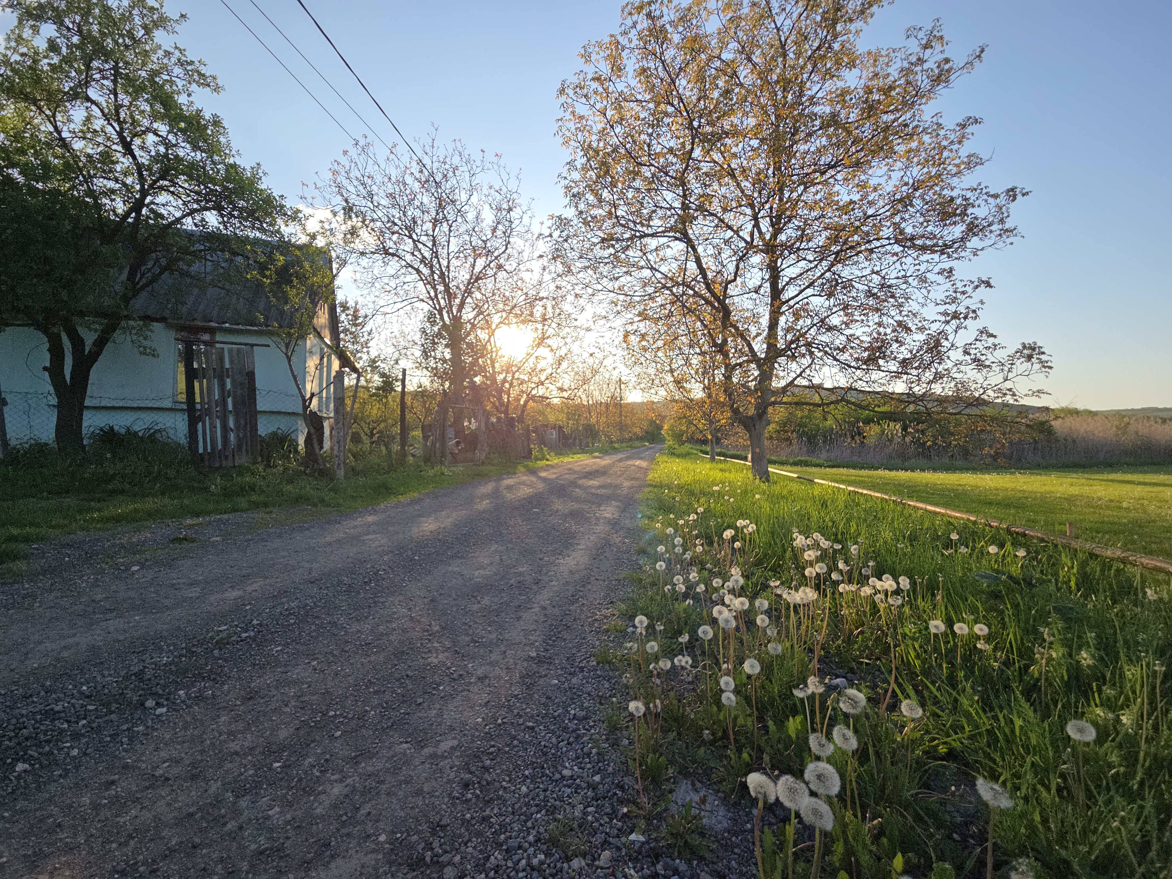
Cluj-Gilau-Mănăstirea Muntele Rece-Ploi-Sălicea-Cluj
A cycling route starting in Cluj-Napoca, Cluj County, Romania.
Overview
About this route
Cluj-Gilau-Mănăstirea Muntele Rece-Ploi-Sălicea-Cluj
- -:--
- Duration
- 80.4 km
- Distance
- 1,067 m
- Ascent
- 936 m
- Descent
- ---
- Avg. speed
- ---
- Max. altitude
Route quality
Waytypes & surfaces along the route
Waytypes
Quiet road
17.7 km
(22 %)
Road
3.2 km
(4 %)
Surfaces
Paved
61.1 km
(76 %)
Unpaved
14.5 km
(18 %)
Asphalt
61.1 km
(76 %)
Unpaved (undefined)
8.8 km
(11 %)
Continue with Bikemap
Use, edit, or download this cycling route
You would like to ride Cluj-Gilau-Mănăstirea Muntele Rece-Ploi-Sălicea-Cluj or customize it for your own trip? Here is what you can do with this Bikemap route:
Free features
- Save this route as favorite or in collections
- Copy & plan your own version of this route
- Split it into stages to create a multi-day tour
- Sync your route with Garmin or Wahoo
Premium features
Free trial for 3 days, or one-time payment. More about Bikemap Premium.
- Navigate this route on iOS & Android
- Export a GPX / KML file of this route
- Create your custom printout (try it for free)
- Download this route for offline navigation
Discover more Premium features.
Get Bikemap PremiumFrom our community
Other popular routes starting in Cluj-Napoca
 Tur de livada
- Distance
- 30.6 km
- Ascent
- 534 m
- Descent
- 534 m
- Location
- Cluj-Napoca, Cluj County, Romania
 Cheile Turzii
- Distance
- 59.9 km
- Ascent
- 768 m
- Descent
- 797 m
- Location
- Cluj-Napoca, Cluj County, Romania
 BT Cluj Tura Faget 24.3 Km 550-550m 4h
- Distance
- 24.3 km
- Ascent
- 607 m
- Descent
- 604 m
- Location
- Cluj-Napoca, Cluj County, Romania
 Lita - After rain
- Distance
- 72.5 km
- Ascent
- 1,004 m
- Descent
- 1,005 m
- Location
- Cluj-Napoca, Cluj County, Romania
 Lacul Chinteni
- Distance
- 16.2 km
- Ascent
- 200 m
- Descent
- 66 m
- Location
- Cluj-Napoca, Cluj County, Romania
 Hoia - Suceagu -Zona industriala - Hoia
- Distance
- 17.6 km
- Ascent
- 336 m
- Descent
- 320 m
- Location
- Cluj-Napoca, Cluj County, Romania
 Sopor hills
- Distance
- 13.3 km
- Ascent
- 310 m
- Descent
- 348 m
- Location
- Cluj-Napoca, Cluj County, Romania
 ride through Cluj-Napoca
- Distance
- 16.1 km
- Ascent
- 171 m
- Descent
- 171 m
- Location
- Cluj-Napoca, Cluj County, Romania
Open it in the app