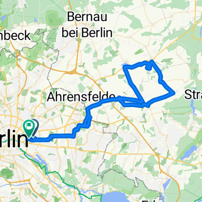
2014 Berlin-dag 1
- 56.4 km
- 101 m
- 121 m
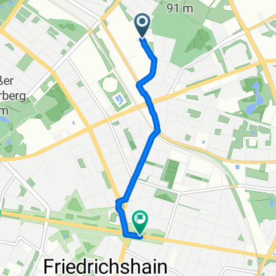
- Fennpfuhl, State of Berlin, Germany
A cycling route starting in Fennpfuhl, State of Berlin, Germany.
Overview
TEASI track
created this 9 years ago
Continue with Bikemap
You would like to ride 20160510_200508.gpx or customize it for your own trip? Here is what you can do with this Bikemap route:
Free trial for 3 days, or one-time payment. More about Bikemap Premium.
Discover more Premium features.
Get Bikemap PremiumFrom our community
Open it in the app