

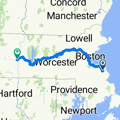
bike tour from Norwell to Scituate
A cycling route starting in Norwell, Massachusetts, United States.
Overview
About this route
- -:--
- Duration
- 11.4 km
- Distance
- 83 m
- Ascent
- 112 m
- Descent
- ---
- Avg. speed
- ---
- Max. altitude
Route photos

Route quality
Waytypes & surfaces along the route
Waytypes
Quiet road
2.3 km
(20 %)
Road
1.6 km
(14 %)
Surfaces
Paved
8.1 km
(71 %)
Unpaved
0.2 km
(2 %)
Asphalt
8 km
(70 %)
Wood
0.1 km
(1 %)
Continue with Bikemap
Use, edit, or download this cycling route
You would like to ride bike tour from Norwell to Scituate or customize it for your own trip? Here is what you can do with this Bikemap route:
Free features
- Save this route as favorite or in collections
- Copy & plan your own version of this route
- Sync your route with Garmin or Wahoo
Premium features
Free trial for 3 days, or one-time payment. More about Bikemap Premium.
- Navigate this route on iOS & Android
- Export a GPX / KML file of this route
- Create your custom printout (try it for free)
- Download this route for offline navigation
Discover more Premium features.
Get Bikemap PremiumFrom our community
Other popular routes starting in Norwell
 Hanson - Hardwick
- Distance
- 252.8 km
- Ascent
- 2,901 m
- Descent
- 2,893 m
- Location
- Norwell, Massachusetts, United States
 12.5-mile Wompatuck Course
- Distance
- 18.1 km
- Ascent
- 167 m
- Descent
- 166 m
- Location
- Norwell, Massachusetts, United States
 2–6 Trunnel Ln, Norwell to 55 Collier Rd, Scituate
- Distance
- 8.6 km
- Ascent
- 30 m
- Descent
- 40 m
- Location
- Norwell, Massachusetts, United States
 Mount Blue Street 577, Norwell to Mount Blue Street 558, Norwell
- Distance
- 13.8 km
- Ascent
- 91 m
- Descent
- 94 m
- Location
- Norwell, Massachusetts, United States
 bike tour from Norwell to Scituate
- Distance
- 11.4 km
- Ascent
- 83 m
- Descent
- 112 m
- Location
- Norwell, Massachusetts, United States
 307 Old Oaken Bucket Rd, Norwell to 415–489 Oldham St, Pembroke
- Distance
- 16.5 km
- Ascent
- 146 m
- Descent
- 154 m
- Location
- Norwell, Massachusetts, United States
Open it in the app