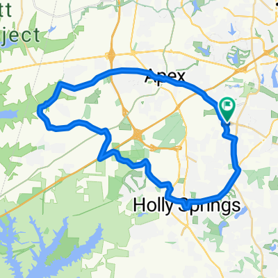
Umstead trail loop
- 23.9 km
- 243 m
- 258 m
- Apex, North Carolina, United States
A cycling route starting in Apex, North Carolina, United States.
Overview
Route quality
Quiet road
46 km
36 %
Road
31.9 km
25 %
Paved
63.9 km
(50 %)
Asphalt
48.5 km
38 %
Paved (undefined)
15.3 km
12 %
Undefined
63.9 km
50 %
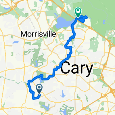
Route highlights
Rest stop
Continue with Bikemap
You would like to ride tdc-80 or customize it for your own trip? Here is what you can do with this Bikemap route:
Free trial for 3 days, or one-time payment. More about Bikemap Premium.
Discover more Premium features.
Get Bikemap PremiumFrom our community
Open it in the app