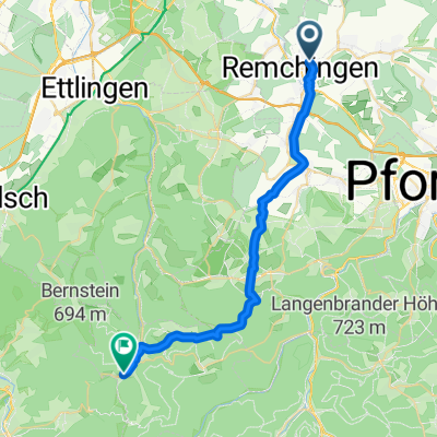
Königsbach - Maulbronn
A cycling route starting in Königsbach-Stein, Baden-Wurttemberg, Germany.
Overview
About this route
Ride around Königsbach - Göbrichen - Maulbronn - Aalkistensee - Bauschlott - Heimbronner Hof - Königsbach
- -:--
- Duration
- 39.1 km
- Distance
- 350 m
- Ascent
- 352 m
- Descent
- ---
- Avg. speed
- ---
- Max. altitude
Route quality
Waytypes & surfaces along the route
Waytypes
Track
16.4 km
(42 %)
Quiet road
10.2 km
(26 %)
Surfaces
Paved
27.4 km
(70 %)
Unpaved
7.8 km
(20 %)
Asphalt
21.1 km
(54 %)
Paved (undefined)
5.1 km
(13 %)
Continue with Bikemap
Use, edit, or download this cycling route
You would like to ride Königsbach - Maulbronn or customize it for your own trip? Here is what you can do with this Bikemap route:
Free features
- Save this route as favorite or in collections
- Copy & plan your own version of this route
- Sync your route with Garmin or Wahoo
Premium features
Free trial for 3 days, or one-time payment. More about Bikemap Premium.
- Navigate this route on iOS & Android
- Export a GPX / KML file of this route
- Create your custom printout (try it for free)
- Download this route for offline navigation
Discover more Premium features.
Get Bikemap PremiumFrom our community
Other popular routes starting in Königsbach-Stein
- Cycle Sport Probefahrt
- Distance
- 4.7 km
- Ascent
- 72 m
- Descent
- 71 m
- Location
- Königsbach-Stein, Baden-Wurttemberg, Germany
- Rundfahrt Kämpfelbach
- Distance
- 29.4 km
- Ascent
- 348 m
- Descent
- 339 m
- Location
- Königsbach-Stein, Baden-Wurttemberg, Germany
- Königsbach - Rhein (Leimersheim) - Karlsruhe - Königsbach
- Distance
- 70.7 km
- Ascent
- 127 m
- Descent
- 121 m
- Location
- Königsbach-Stein, Baden-Wurttemberg, Germany
- Hopfenbergtour
- Distance
- 18.6 km
- Ascent
- 392 m
- Descent
- 392 m
- Location
- Königsbach-Stein, Baden-Wurttemberg, Germany
- Langensteinbach
- Distance
- 29.3 km
- Ascent
- 331 m
- Descent
- 331 m
- Location
- Königsbach-Stein, Baden-Wurttemberg, Germany
- Ranntal - Ellmendingen
- Distance
- 8.1 km
- Ascent
- 134 m
- Descent
- 137 m
- Location
- Königsbach-Stein, Baden-Wurttemberg, Germany
- Pfinztalrunde
- Distance
- 54.4 km
- Ascent
- 287 m
- Descent
- 286 m
- Location
- Königsbach-Stein, Baden-Wurttemberg, Germany
- Obstwiesenrunde
- Distance
- 2.2 km
- Ascent
- 45 m
- Descent
- 44 m
- Location
- Königsbach-Stein, Baden-Wurttemberg, Germany
Open it in the app