

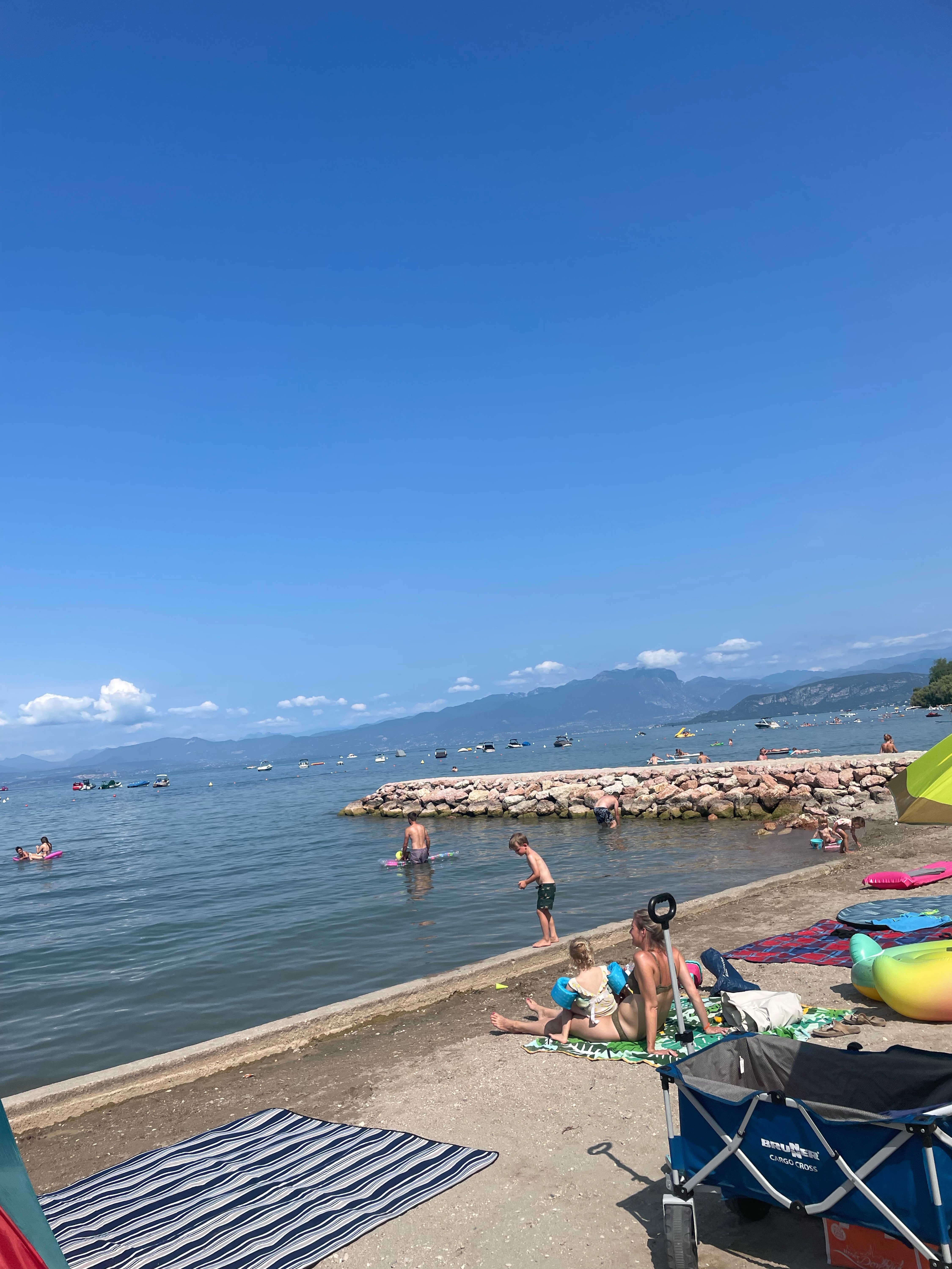
Aufnahme vom 14.05.2016, 17:31
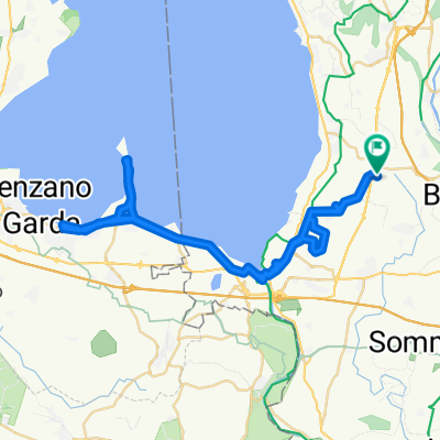
A cycling route starting in Colà, Veneto, Italy.
Overview
About this route
- -:--
- Duration
- 6.5 km
- Distance
- 46 m
- Ascent
- 45 m
- Descent
- ---
- Avg. speed
- ---
- Max. altitude
Route photos

Route highlights
Points of interest along the route

Point of interest after 0 km
Pacengo Gardasee
Continue with Bikemap
Use, edit, or download this cycling route
You would like to ride Aufnahme vom 14.05.2016, 17:31 or customize it for your own trip? Here is what you can do with this Bikemap route:
Free features
- Save this route as favorite or in collections
- Copy & plan your own version of this route
- Sync your route with Garmin or Wahoo
Premium features
Free trial for 3 days, or one-time payment. More about Bikemap Premium.
- Navigate this route on iOS & Android
- Export a GPX / KML file of this route
- Create your custom printout (try it for free)
- Download this route for offline navigation
Discover more Premium features.
Get Bikemap PremiumFrom our community
Other popular routes starting in Colà
 Lazise a Via Dante, Lazise
- Distance
- 21.7 km
- Ascent
- 106 m
- Descent
- 110 m
- Location
- Colà, Veneto, Italy
 Colá di Lazise - San Benedetto Po
- Distance
- 76.1 km
- Ascent
- 152 m
- Descent
- 255 m
- Location
- Colà, Veneto, Italy
 Garda_tour_m_baldo
- Distance
- 116.6 km
- Ascent
- 2,501 m
- Descent
- 2,471 m
- Location
- Colà, Veneto, Italy
 Von Lazise bis Bardolino
- Distance
- 14.2 km
- Ascent
- 70 m
- Descent
- 128 m
- Location
- Colà, Veneto, Italy
 Via Prati nach Località Donzella
- Distance
- 60.2 km
- Ascent
- 339 m
- Descent
- 391 m
- Location
- Colà, Veneto, Italy
 Aufnahme vom 14.05.2016, 17:31
- Distance
- 6.5 km
- Ascent
- 46 m
- Descent
- 45 m
- Location
- Colà, Veneto, Italy
 Südrunde Gardasee
- Distance
- 72.7 km
- Ascent
- 443 m
- Descent
- 443 m
- Location
- Colà, Veneto, Italy
 Runde
Runde- Distance
- 28.5 km
- Ascent
- 261 m
- Descent
- 260 m
- Location
- Colà, Veneto, Italy
Open it in the app