retour
- 2.1 km
- 77 m
- 79 m
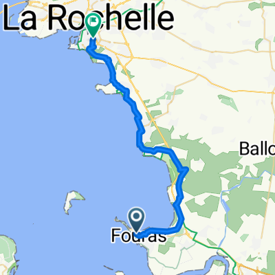
- Fouras, Nouvelle-Aquitaine, France
A cycling route starting in Fouras, Nouvelle-Aquitaine, France.
Overview
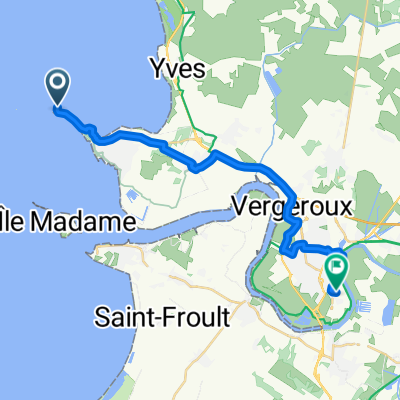
A flat tour around Fouras, along the Pointe de la Fumée and the mouth of the Charente
created this 9 years ago
Route quality
Quiet road
7.6 km
34 %
Pedestrian area
3.4 km
15 %
Paved
13 km
(58 %)
Unpaved
6.3 km
(28 %)
Asphalt
12.6 km
56 %
Gravel
6.3 km
28 %
Continue with Bikemap
You would like to ride Schiereiland Fouras-Pointe de la Fuméé or customize it for your own trip? Here is what you can do with this Bikemap route:
Free trial for 3 days, or one-time payment. More about Bikemap Premium.
Discover more Premium features.
Get Bikemap PremiumFrom our community
Open it in the app