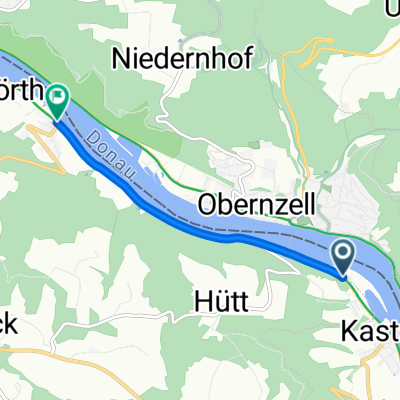
Ö-Inzell Camping-Stiftskirche Engelszell-Inzell
A cycling route starting in Pfarrkirchen im Mühlkreis, Upper Austria, Austria.
Overview
About this route
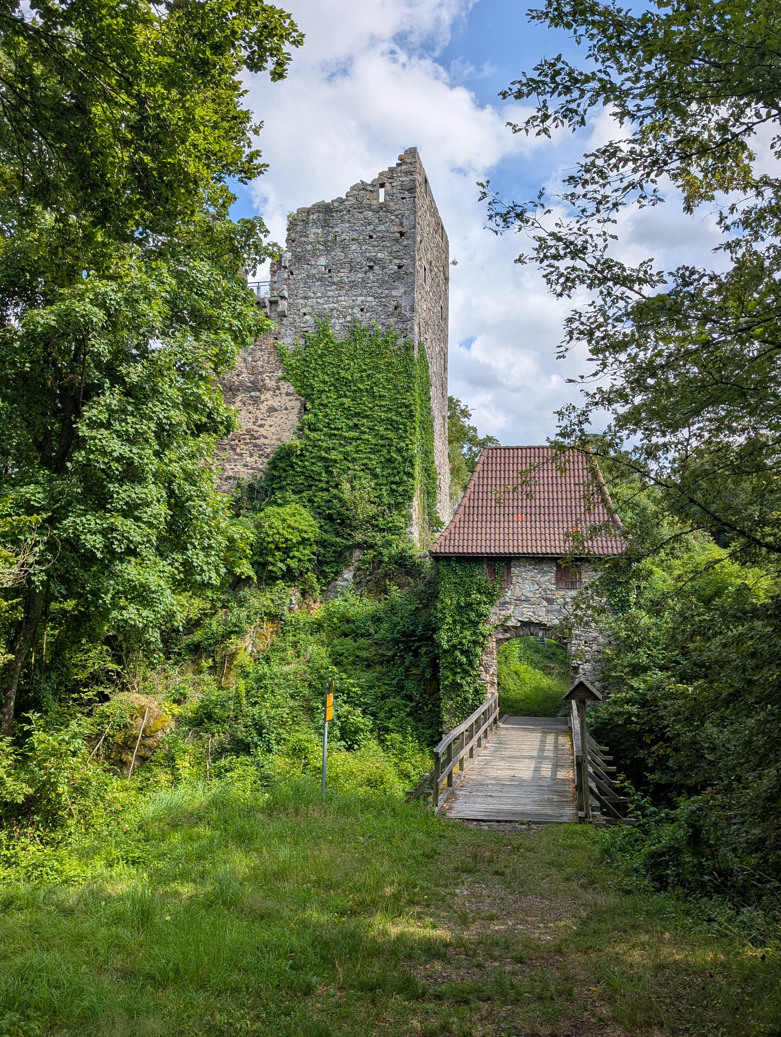
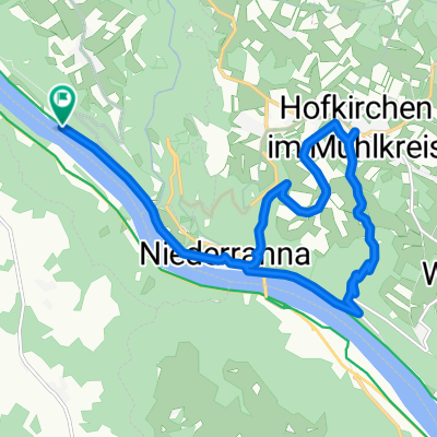
Day trip from the campsite at the Schlögener Schlinge to Engelszell Abbey and back.
- -:--
- Duration
- 46.6 km
- Distance
- 359 m
- Ascent
- 356 m
- Descent
- ---
- Avg. speed
- ---
- Max. altitude
Route quality
Waytypes & surfaces along the route
Waytypes
Quiet road
23.3 km
(50 %)
Track
6.1 km
(13 %)
Surfaces
Paved
39.2 km
(84 %)
Asphalt
38.2 km
(82 %)
Concrete
0.9 km
(2 %)
Undefined
7.5 km
(16 %)
Continue with Bikemap
Use, edit, or download this cycling route
You would like to ride Ö-Inzell Camping-Stiftskirche Engelszell-Inzell or customize it for your own trip? Here is what you can do with this Bikemap route:
Free features
- Save this route as favorite or in collections
- Copy & plan your own version of this route
- Sync your route with Garmin or Wahoo
Premium features
Free trial for 3 days, or one-time payment. More about Bikemap Premium.
- Navigate this route on iOS & Android
- Export a GPX / KML file of this route
- Create your custom printout (try it for free)
- Download this route for offline navigation
Discover more Premium features.
Get Bikemap PremiumFrom our community
Other popular routes starting in Pfarrkirchen im Mühlkreis
- Marsbach- Aschach
- Distance
- 73.6 km
- Ascent
- 533 m
- Descent
- 320 m
- Location
- Pfarrkirchen im Mühlkreis, Upper Austria, Austria
- 🚴♀️E*Bike🇦🇹Kaufmann-Runde
- Distance
- 30.6 km
- Ascent
- 369 m
- Descent
- 365 m
- Location
- Pfarrkirchen im Mühlkreis, Upper Austria, Austria
- DonauTalMan
- Distance
- 146.1 km
- Ascent
- 3,060 m
- Descent
- 3,055 m
- Location
- Pfarrkirchen im Mühlkreis, Upper Austria, Austria
- Engelhartszell Untermühl 2022-09-10
- Distance
- 37 km
- Ascent
- 542 m
- Descent
- 552 m
- Location
- Pfarrkirchen im Mühlkreis, Upper Austria, Austria
- 🚴♀️E*Bike🇦🇹 Hakendorf-Natternbach
- Distance
- 31.3 km
- Ascent
- 387 m
- Descent
- 386 m
- Location
- Pfarrkirchen im Mühlkreis, Upper Austria, Austria
- Training 03 Aschachtal
- Distance
- 61.2 km
- Ascent
- 711 m
- Descent
- 718 m
- Location
- Pfarrkirchen im Mühlkreis, Upper Austria, Austria
- Niederranna-Ottensheim (Donauradweg)
- Distance
- 56.1 km
- Ascent
- 243 m
- Descent
- 250 m
- Location
- Pfarrkirchen im Mühlkreis, Upper Austria, Austria
- Kopfing_Sankt Roman_Vichtenstein_Sauwald Panoramastraße_SanktÄgidi_Kopfing
- Distance
- 36.8 km
- Ascent
- 504 m
- Descent
- 507 m
- Location
- Pfarrkirchen im Mühlkreis, Upper Austria, Austria
Open it in the app