Fantasy Tour of Britain - Day 15
- 173.1 km
- 1,378 m
- 1,290 m
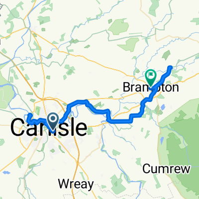
- Carlisle, England, United Kingdom
A cycling route starting in Carlisle, England, United Kingdom.
Overview
The first section of St Ninian’s Way starts at Carlisle’s ancient cathedral and proceede north through the centre of Carlisle about ½ km until you join Bike Route 7. Then cross the River Eden and continue along Bike Route 7 all way to Gretna. About 18km.
Flat farmland and over the estuary of the Esk and Eden with great views onto the Solway Firth.
For a map overview of St Ninian’s Way please go to
https://www.bikemap.net/en/route/3548129-st-ninians-way-carlisle-to-st-andrews-via-whithorn/
St Ninian’s Way is one of the great pilgrim routes in S
cotland to St Andrews - The Way of St Andrews - For other routes see http://www.thewayofstandrews.com
.
created this 9 years ago
Route quality
Road
8.7 km
(48 %)
Quiet road
5.4 km
(30 %)
Paved
6.5 km
(36 %)
Asphalt
5.6 km
(31 %)
Concrete
0.5 km
(3 %)
Continue with Bikemap
You would like to ride St Ninian's Way - Carlisle to Gretna or customize it for your own trip? Here is what you can do with this Bikemap route:
Free trial for 3 days, or one-time payment. More about Bikemap Premium.
Discover more Premium features.
Get Bikemap PremiumFrom our community
Open it in the app