test Mountain pass eror 2
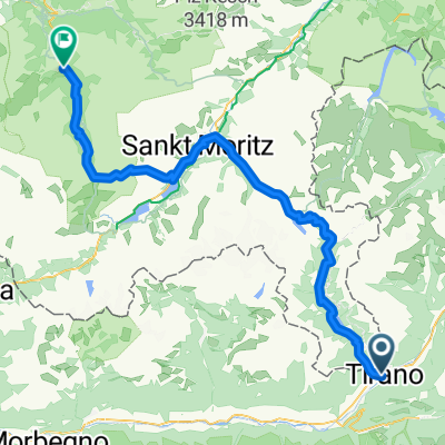
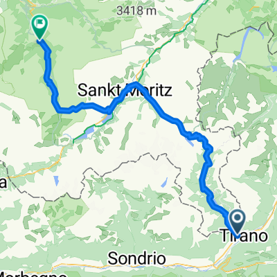
- 119.2 km
- 4,227 m
- 2,084 m
- Tirano, Lombardy, Italy
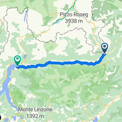
A cycling route starting in Tirano, Lombardy, Italy.
Overview
Salita in Val Venina, percorrenza della Decauville e discesa in Val d'Arigna.
created this 9 years ago
Continue with Bikemap
You would like to ride Val d'Arigna e Decauville or customize it for your own trip? Here is what you can do with this Bikemap route:
Free trial for 3 days, or one-time payment. More about Bikemap Premium.
Discover more Premium features.
Get Bikemap PremiumFrom our community
Open it in the app