

Ruhpolding - Seegatterl - Winklmoosalm - Heutal - Unken - Schneizelreuth - Weißbach - Ruhpolding
A cycling route starting in Ruhpolding, Bavaria, Germany.
Overview
About this route
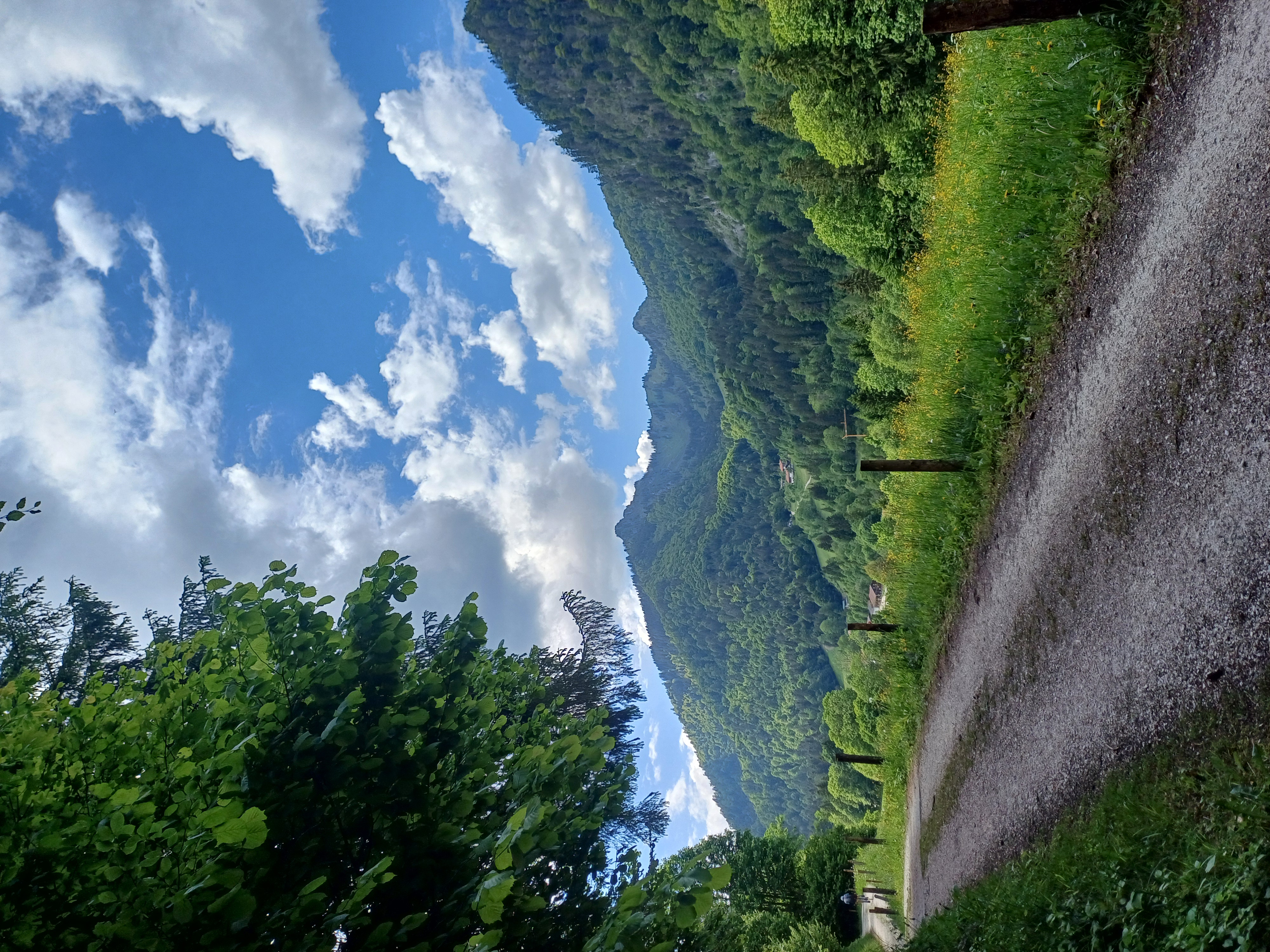
Sehr anspruchsvolle Tour beginnend in Ruhpolding nach Seegatterl, danach Anstieg zur Winklmoosalm, weiter ins Heutal in Österreich, danach rasante Abfahrt nach Unken, erneute Grenzüberquerung nach Schneizelreuth, danach nach Weißbach zurück nach Ruhpolding.
- -:--
- Duration
- 65.7 km
- Distance
- 918 m
- Ascent
- 919 m
- Descent
- ---
- Avg. speed
- ---
- Max. altitude
Continue with Bikemap
Use, edit, or download this cycling route
You would like to ride Ruhpolding - Seegatterl - Winklmoosalm - Heutal - Unken - Schneizelreuth - Weißbach - Ruhpolding or customize it for your own trip? Here is what you can do with this Bikemap route:
Free features
- Save this route as favorite or in collections
- Copy & plan your own version of this route
- Sync your route with Garmin or Wahoo
Premium features
Free trial for 3 days, or one-time payment. More about Bikemap Premium.
- Navigate this route on iOS & Android
- Export a GPX / KML file of this route
- Create your custom printout (try it for free)
- Download this route for offline navigation
Discover more Premium features.
Get Bikemap PremiumFrom our community
Other popular routes starting in Ruhpolding
 HIPP-Trophy
- Distance
- 1.3 km
- Ascent
- 30 m
- Descent
- 30 m
- Location
- Ruhpolding, Bavaria, Germany
 Röthelmoosalm
- Distance
- 54.2 km
- Ascent
- 1,396 m
- Descent
- 1,398 m
- Location
- Ruhpolding, Bavaria, Germany
 Hochfellnrunde
- Distance
- 56.9 km
- Ascent
- 1,224 m
- Descent
- 1,228 m
- Location
- Ruhpolding, Bavaria, Germany
 Röthelmoss Runde
- Distance
- 30.6 km
- Ascent
- 340 m
- Descent
- 340 m
- Location
- Ruhpolding, Bavaria, Germany
 Pedale - Bergen
- Distance
- 32.3 km
- Ascent
- 280 m
- Descent
- 286 m
- Location
- Ruhpolding, Bavaria, Germany
 Rauschbergrunde
- Distance
- 26.4 km
- Ascent
- 588 m
- Descent
- 588 m
- Location
- Ruhpolding, Bavaria, Germany
 Rund um den Hochfelln
- Distance
- 40.3 km
- Ascent
- 971 m
- Descent
- 967 m
- Location
- Ruhpolding, Bavaria, Germany
 D_Bayern-Fuchsau-Gstatt-Steinbachalm-HochfellnMittelstation-Scheichenbergalm-MariaEckWeg-Dießelbachweg-ChiemgauCoaster-Ruhpolding_RR-26km-650hm
- Distance
- 26.1 km
- Ascent
- 613 m
- Descent
- 613 m
- Location
- Ruhpolding, Bavaria, Germany
Open it in the app