

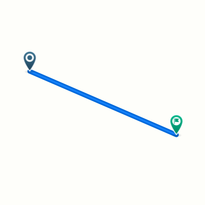
COEx
A cycling route starting in Coëx, Pays de la Loire Region, France.
Overview
About this route
- -:--
- Duration
- 36.5 km
- Distance
- 94 m
- Ascent
- 93 m
- Descent
- ---
- Avg. speed
- ---
- Max. altitude
Route quality
Waytypes & surfaces along the route
Waytypes
Road
16.8 km
(46 %)
Quiet road
6.9 km
(19 %)
Surfaces
Paved
6.2 km
(17 %)
Unpaved
5.1 km
(14 %)
Asphalt
5.8 km
(16 %)
Gravel
5.1 km
(14 %)
Continue with Bikemap
Use, edit, or download this cycling route
You would like to ride COEx or customize it for your own trip? Here is what you can do with this Bikemap route:
Free features
- Save this route as favorite or in collections
- Copy & plan your own version of this route
- Sync your route with Garmin or Wahoo
Premium features
Free trial for 3 days, or one-time payment. More about Bikemap Premium.
- Navigate this route on iOS & Android
- Export a GPX / KML file of this route
- Create your custom printout (try it for free)
- Download this route for offline navigation
Discover more Premium features.
Get Bikemap PremiumFrom our community
Other popular routes starting in Coëx
 Moderate route in Coëx
- Distance
- 9.7 km
- Ascent
- 76 m
- Descent
- 36 m
- Location
- Coëx, Pays de la Loire Region, France
 coex-saint-hilaire-de-riez
- Distance
- 53.1 km
- Ascent
- 71 m
- Descent
- 127 m
- Location
- Coëx, Pays de la Loire Region, France
 Vendee 3
- Distance
- 66.2 km
- Ascent
- 202 m
- Descent
- 208 m
- Location
- Coëx, Pays de la Loire Region, France
 aiguillon sur vie
- Distance
- 14.4 km
- Ascent
- 87 m
- Descent
- 60 m
- Location
- Coëx, Pays de la Loire Region, France
 Rando VTT Coëx 2017
- Distance
- 48.6 km
- Ascent
- 181 m
- Descent
- 181 m
- Location
- Coëx, Pays de la Loire Region, France
 Brief bike tour through Coëx
- Distance
- 0 km
- Ascent
- 0 m
- Descent
- 0 m
- Location
- Coëx, Pays de la Loire Region, France
 Itinéraire à partir de La Brosse, La Chapelle-Hermier
- Distance
- 28.2 km
- Ascent
- 152 m
- Descent
- 163 m
- Location
- Coëx, Pays de la Loire Region, France
 Rue des Mésanges 11, Coëx to Rue du Pont de Brem 18B, Bretignolles-sur-Mer
- Distance
- 13.6 km
- Ascent
- 85 m
- Descent
- 122 m
- Location
- Coëx, Pays de la Loire Region, France
Open it in the app