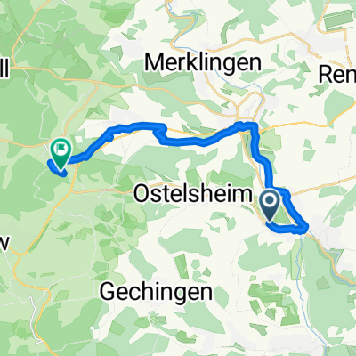
20150808_172925.gpx
A cycling route starting in Ostelsheim, Baden-Württemberg, Germany.
Overview
About this route
TEASI track
- -:--
- Duration
- 34.3 km
- Distance
- 333 m
- Ascent
- 361 m
- Descent
- ---
- Avg. speed
- ---
- Avg. speed
Route quality
Waytypes & surfaces along the route
Waytypes
Track
13.1 km
(38 %)
Quiet road
9.7 km
(28 %)
Surfaces
Paved
30.9 km
(90 %)
Asphalt
30.2 km
(88 %)
Paved (undefined)
0.7 km
(2 %)
Undefined
3.4 km
(10 %)
Route highlights
Points of interest along the route
Point of interest after 3.7 km
UNTERSTELLHUETTE
Continue with Bikemap
Use, edit, or download this cycling route
You would like to ride 20150808_172925.gpx or customize it for your own trip? Here is what you can do with this Bikemap route:
Free features
- Save this route as favorite or in collections
- Copy & plan your own version of this route
- Sync your route with Garmin or Wahoo
Premium features
Free trial for 3 days, or one-time payment. More about Bikemap Premium.
- Navigate this route on iOS & Android
- Export a GPX / KML file of this route
- Create your custom printout (try it for free)
- Download this route for offline navigation
Discover more Premium features.
Get Bikemap PremiumFrom our community
Other popular routes starting in Ostelsheim
- 2018.10.06 Pforzheim rund
- Distance
- 73.8 km
- Ascent
- 1,213 m
- Descent
- 1,266 m
- Location
- Ostelsheim, Baden-Württemberg, Germany
- Rankstraße 12/3, Ostelsheim nach Hauptstraße 29, Althengstett
- Distance
- 25.4 km
- Ascent
- 403 m
- Descent
- 359 m
- Location
- Ostelsheim, Baden-Württemberg, Germany
- Dä-Mahlstetten
- Distance
- 93.3 km
- Ascent
- 907 m
- Descent
- 454 m
- Location
- Ostelsheim, Baden-Württemberg, Germany
- Pforzheim über Hohenwart
- Distance
- 76.1 km
- Ascent
- 535 m
- Descent
- 535 m
- Location
- Ostelsheim, Baden-Württemberg, Germany
- Dä-Würzbach-Calmbach-PF
- Distance
- 100 km
- Ascent
- 1,973 m
- Descent
- 1,972 m
- Location
- Ostelsheim, Baden-Württemberg, Germany
- 20210220 PF
- Distance
- 74.1 km
- Ascent
- 566 m
- Descent
- 567 m
- Location
- Ostelsheim, Baden-Württemberg, Germany
- Dätzingen
- Distance
- 7.3 km
- Ascent
- 43 m
- Descent
- 44 m
- Location
- Ostelsheim, Baden-Württemberg, Germany
- 20150808_172925.gpx
- Distance
- 34.3 km
- Ascent
- 333 m
- Descent
- 361 m
- Location
- Ostelsheim, Baden-Württemberg, Germany
Open it in the app