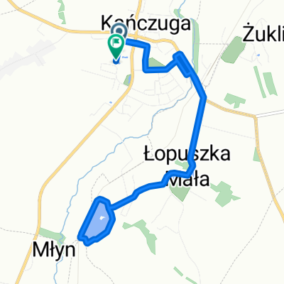
Wolności do Wolności
- 10.3 km
- 39 m
- 74 m
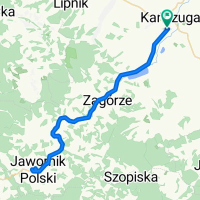
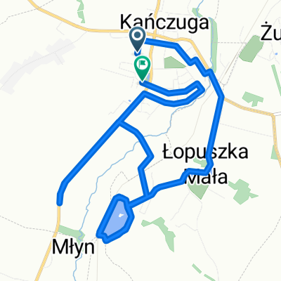
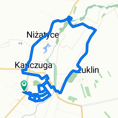
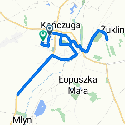
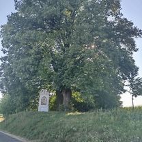
- Kańczuga, Subcarpathian Voivodeship, Poland
A cycling route starting in Kańczuga, Subcarpathian Voivodeship, Poland.
Overview
Two sections of 'firmed unpaved road' (about 10 km) – road bikes can handle it too.
In Sielnica, ferry crossing over the San.
created this 9 years ago
Route quality
Road
33.6 km
(35 %)
Quiet road
20.2 km
(21 %)
Paved
83.6 km
(87 %)
Unpaved
2.9 km
(3 %)
Asphalt
83.6 km
(87 %)
Ground
1.9 km
(2 %)
Continue with Bikemap
You would like to ride 000(KRA) "Walnijmy setkę" (Koło Rowerowe Axtone) Propozycja 1 or customize it for your own trip? Here is what you can do with this Bikemap route:
Free trial for 3 days, or one-time payment. More about Bikemap Premium.
Discover more Premium features.
Get Bikemap PremiumFrom our community
Open it in the app