Prince Charles Cottage, Gretna do Priory Cottage, Brampton
- 47.5 km
- 258 m
- 239 m
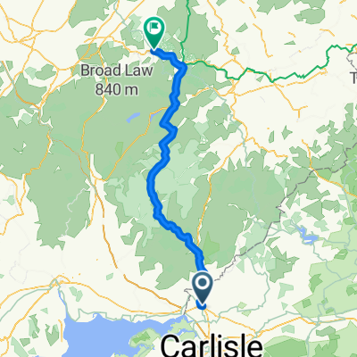
- Gretna, Scotland, United Kingdom
A cycling route starting in Gretna, Scotland, United Kingdom.
Overview
This, the second section of St Ninian’s Way, starts on Bike Route 7 in Gretna Green going south and then west for 4.5 km. Then turn left at Nivenhill for 2km to coast. Keep along coastal track for 8 km to Battlehill, and then go north-west along quiet roads 3 1/2 km to the centre of Annan.
Mainly flat coastal section along north bank of Solway Firth but getting a bit hilly towards the end.
For a map overview of St Ninian’s Way please go https://www.bikemap.net/en/route/3548129-st-ninians-way-carlisle-to-st-andrews-via-whithorn/
St Ninian’s Way is one of the great pilgrim routes in Scotland to St Andrews - The Way of St Andrews - For other routes see http://www.thewayofstandrews.com
created this 10 years ago
Route quality
Quiet road
5.8 km
33 %
Access road
2.8 km
16 %
Paved
1.1 km
(6 %)
Asphalt
1.1 km
6 %
Undefined
16.6 km
94 %
Continue with Bikemap
You would like to ride St Ninian's Way- Gretna to Annan or customize it for your own trip? Here is what you can do with this Bikemap route:
Free trial for 3 days, or one-time payment. More about Bikemap Premium.
Discover more Premium features.
Get Bikemap PremiumFrom our community
Open it in the app