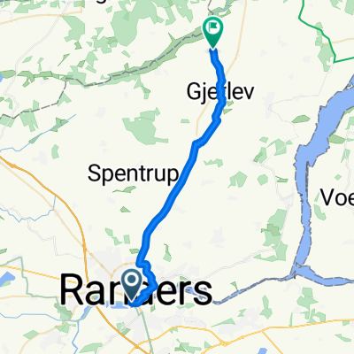
Vester Velling
- 33 km
- 210 m
- 209 m
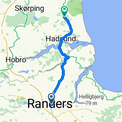
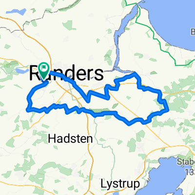
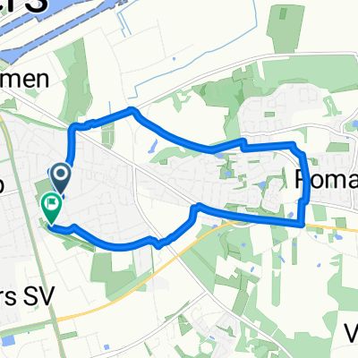
- Randers, Central Jutland, Denmark
A cycling route starting in Randers, Central Jutland, Denmark.
Overview
Route highlights
Start/slut
Continue with Bikemap
You would like to ride Cykeltur sommeren 2016 - 1.etape or customize it for your own trip? Here is what you can do with this Bikemap route:
Free trial for 3 days, or one-time payment. More about Bikemap Premium.
Discover more Premium features.
Get Bikemap PremiumFrom our community
Open it in the app