

uzunkuyu.coast
A cycling route starting in Uzunkuyu, İzmir Province, Republic of Türkiye.
Overview
About this route
a route through the forest south of Uzunkuyu
- -:--
- Duration
- 23.6 km
- Distance
- 344 m
- Ascent
- 504 m
- Descent
- ---
- Avg. speed
- ---
- Max. altitude
Route quality
Waytypes & surfaces along the route
Waytypes
Quiet road
9 km
(38 %)
Road
8.3 km
(35 %)
Continue with Bikemap
Use, edit, or download this cycling route
You would like to ride uzunkuyu.coast or customize it for your own trip? Here is what you can do with this Bikemap route:
Free features
- Save this route as favorite or in collections
- Copy & plan your own version of this route
- Sync your route with Garmin or Wahoo
Premium features
Free trial for 3 days, or one-time payment. More about Bikemap Premium.
- Navigate this route on iOS & Android
- Export a GPX / KML file of this route
- Create your custom printout (try it for free)
- Download this route for offline navigation
Discover more Premium features.
Get Bikemap PremiumFrom our community
Other popular routes starting in Uzunkuyu
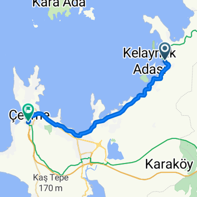
 27000. Sk., Cesme to 3431. Sk. 1, Cesme
- Distance
- 18.6 km
- Ascent
- 133 m
- Descent
- 119 m
- Location
- Uzunkuyu, İzmir Province, Republic of Türkiye
 iyte altınoluk
- Distance
- 22.4 km
- Ascent
- 156 m
- Descent
- 217 m
- Location
- Uzunkuyu, İzmir Province, Republic of Türkiye
 Eurovélo 8 İzmir Part 12: Ildır - Çeşme Port
- Distance
- 22.6 km
- Ascent
- 159 m
- Descent
- 180 m
- Location
- Uzunkuyu, İzmir Province, Republic of Türkiye
 Antik II-1
- Distance
- 42 km
- Ascent
- 698 m
- Descent
- 626 m
- Location
- Uzunkuyu, İzmir Province, Republic of Türkiye
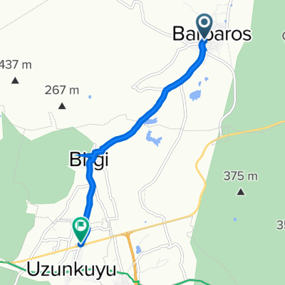 Barbaros Caddesi 24 to Uzunkuyu
- Distance
- 4.9 km
- Ascent
- 6 m
- Descent
- 42 m
- Location
- Uzunkuyu, İzmir Province, Republic of Türkiye
 4. gün ıldır-gülbahçe
- Distance
- 22.1 km
- Ascent
- 0 m
- Descent
- 0 m
- Location
- Uzunkuyu, İzmir Province, Republic of Türkiye
 uzunkuyu.coast
- Distance
- 23.6 km
- Ascent
- 344 m
- Descent
- 504 m
- Location
- Uzunkuyu, İzmir Province, Republic of Türkiye
 back to hotel
- Distance
- 17.6 km
- Ascent
- 171 m
- Descent
- 153 m
- Location
- Uzunkuyu, İzmir Province, Republic of Türkiye
Open it in the app