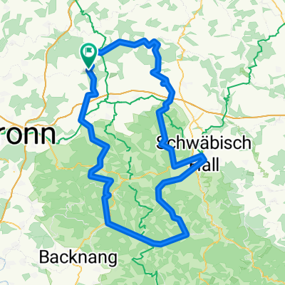
Limes Route Golfplatz Friedrichsruhe
A cycling route starting in Zweiflingen, Baden-Württemberg, Germany.
Overview
About this route
- 55 min
- Duration
- 10.5 km
- Distance
- 96 m
- Ascent
- 108 m
- Descent
- 11.4 km/h
- Avg. speed
- ---
- Avg. speed
Continue with Bikemap
Use, edit, or download this cycling route
You would like to ride Limes Route Golfplatz Friedrichsruhe or customize it for your own trip? Here is what you can do with this Bikemap route:
Free features
- Save this route as favorite or in collections
- Copy & plan your own version of this route
- Sync your route with Garmin or Wahoo
Premium features
Free trial for 3 days, or one-time payment. More about Bikemap Premium.
- Navigate this route on iOS & Android
- Export a GPX / KML file of this route
- Create your custom printout (try it for free)
- Download this route for offline navigation
Discover more Premium features.
Get Bikemap PremiumFrom our community
Other popular routes starting in Zweiflingen
- 300 km Strecke Friedrichsruhe - Sasbach am Kaiserstuhl
- Distance
- 298.3 km
- Ascent
- 242 m
- Descent
- 388 m
- Location
- Zweiflingen, Baden-Württemberg, Germany
- Limes Route Golfplatz Friedrichsruhe
- Distance
- 10.5 km
- Ascent
- 96 m
- Descent
- 108 m
- Location
- Zweiflingen, Baden-Württemberg, Germany
- Ohrnberg - Oberginsbacher See - Ohrnberg
- Distance
- 69.6 km
- Ascent
- 440 m
- Descent
- 440 m
- Location
- Zweiflingen, Baden-Württemberg, Germany
- Von Ohrnberg durch den Harthäuser Wald zum Seehaus
- Distance
- 33.7 km
- Ascent
- 288 m
- Descent
- 287 m
- Location
- Zweiflingen, Baden-Württemberg, Germany
- Mittlere Abendrunde
- Distance
- 30.6 km
- Ascent
- 610 m
- Descent
- 607 m
- Location
- Zweiflingen, Baden-Württemberg, Germany
- öhringen-schießhof-sindringen- ohrnberg- öhringen
- Distance
- 27.8 km
- Ascent
- 169 m
- Descent
- 186 m
- Location
- Zweiflingen, Baden-Württemberg, Germany
- Tälerroute
- Distance
- 81.5 km
- Ascent
- 580 m
- Descent
- 583 m
- Location
- Zweiflingen, Baden-Württemberg, Germany
- Westernbach, Salltal, Kochertal und zurück
- Distance
- 51.9 km
- Ascent
- 795 m
- Descent
- 795 m
- Location
- Zweiflingen, Baden-Württemberg, Germany
Open it in the app