Saturday Long Ride - 5/26/16
A cycling route starting in Rochester Hills, Michigan, United States of America.
Overview
About this route
- -:--
- Duration
- 82.3 km
- Distance
- 307 m
- Ascent
- 307 m
- Descent
- ---
- Avg. speed
- ---
- Avg. speed
Route quality
Waytypes & surfaces along the route
Waytypes
Quiet road
36.4 km
(44 %)
Road
16.7 km
(20 %)
Surfaces
Paved
47.9 km
(58 %)
Unpaved
0.2 km
(<1 %)
Asphalt
39.2 km
(48 %)
Concrete
6.5 km
(8 %)
Continue with Bikemap
Use, edit, or download this cycling route
You would like to ride Saturday Long Ride - 5/26/16 or customize it for your own trip? Here is what you can do with this Bikemap route:
Free features
- Save this route as favorite or in collections
- Copy & plan your own version of this route
- Sync your route with Garmin or Wahoo
Premium features
Free trial for 3 days, or one-time payment. More about Bikemap Premium.
- Navigate this route on iOS & Android
- Export a GPX / KML file of this route
- Create your custom printout (try it for free)
- Download this route for offline navigation
Discover more Premium features.
Get Bikemap PremiumFrom our community
Other popular routes starting in Rochester Hills
- Clinton River Trail, Rochester Hills to Clinton River Trail, Rochester Hills
- Distance
- 1.4 km
- Ascent
- 16 m
- Descent
- 9 m
- Location
- Rochester Hills, Michigan, United States of America
- June 5 Long Ride
- Distance
- 91.7 km
- Ascent
- 215 m
- Descent
- 217 m
- Location
- Rochester Hills, Michigan, United States of America
- Brief bike tour through Rochester Hills
- Distance
- 4.2 km
- Ascent
- 13 m
- Descent
- 13 m
- Location
- Rochester Hills, Michigan, United States of America
- Innovation Hills Park, Rochester Hills - Clinton River Boardwalk Loop
- Distance
- 1.8 km
- Ascent
- 28 m
- Descent
- 13 m
- Location
- Rochester Hills, Michigan, United States of America
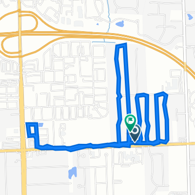
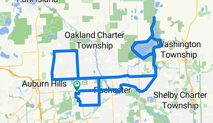
- Clinton River Trail, Rochester Hills to 2516 Crofthill Dr, Auburn Hills
- Distance
- 6.6 km
- Ascent
- 52 m
- Descent
- 22 m
- Location
- Rochester Hills, Michigan, United States of America
- Mi first route
- Distance
- 5.6 km
- Ascent
- 17 m
- Descent
- 19 m
- Location
- Rochester Hills, Michigan, United States of America
- Innovation hills round 1
- Distance
- 3.9 km
- Ascent
- 26 m
- Descent
- 23 m
- Location
- Rochester Hills, Michigan, United States of America
- Clinton River Trail, Rochester Hills to Clinton River Trail, Rochester Hills
- Distance
- 33.2 km
- Ascent
- 150 m
- Descent
- 158 m
- Location
- Rochester Hills, Michigan, United States of America
Open it in the app