Sankt Sebastian - Bonn
- 50 km
- 628 m
- 615 m
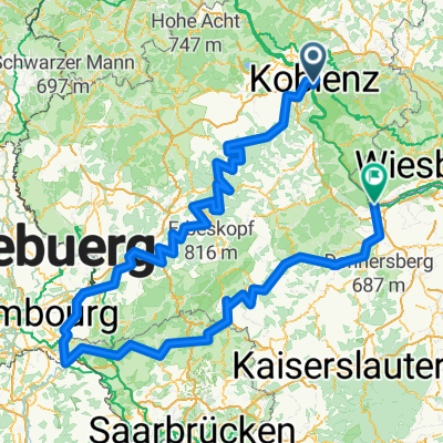
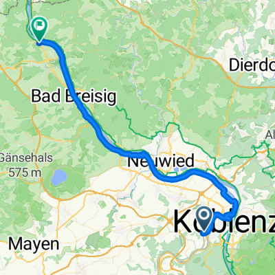
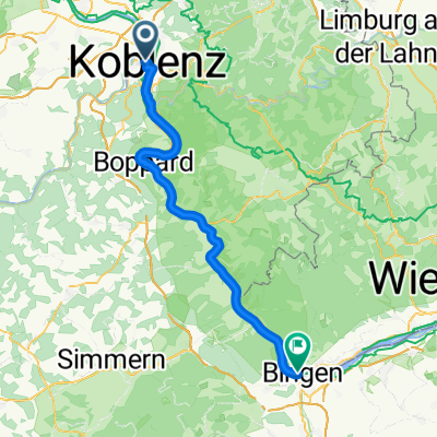
- Koblenz, Rhineland-Palatinate, Germany
A cycling route starting in Koblenz, Rhineland-Palatinate, Germany.
Overview
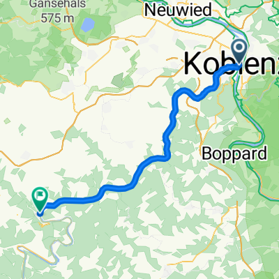
Abschnitt 4: Koblenz - Bonn - Köln - Uerdingen - Xanten - Hamminkeln - Ahaus - Gronau - BB (diverse Routen)
created this 9 years ago
Route quality
Path
154 km
(39 %)
Quiet road
122.4 km
(31 %)
Paved
229.1 km
(58 %)
Unpaved
35.5 km
(9 %)
Asphalt
217.2 km
(55 %)
Gravel
23.7 km
(6 %)
Continue with Bikemap
You would like to ride BB-Rhein-Siegtal-Lahntahl-Rhein-BB or customize it for your own trip? Here is what you can do with this Bikemap route:
Free trial for 3 days, or one-time payment. More about Bikemap Premium.
Discover more Premium features.
Get Bikemap PremiumFrom our community
Open it in the app