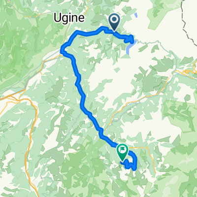
16-Etappe 5
A cycling route starting in Beaufort, Auvergne-Rh么ne-Alpes, France.
Overview
About this route
Signal de Bisanne 1.939m
14km/ 1.225hm/ 8,8%/ HC(113,0)
- -:--
- Duration
- 35.9 km
- Distance
- 1,336 m
- Ascent
- 1,334 m
- Descent
- ---
- Avg. speed
- ---
- Max. altitude
Route quality
Waytypes & surfaces along the route
Waytypes
Road
15.4 km
(43 %)
Quiet road
6.1 km
(17 %)
Surfaces
Paved
30.9 km
(86 %)
Asphalt
29.5 km
(82 %)
Paved (undefined)
1.4 km
(4 %)
Undefined
5 km
(14 %)
Continue with Bikemap
Use, edit, or download this cycling route
You would like to ride 16-Etappe 5 or customize it for your own trip? Here is what you can do with this Bikemap route:
Free features
- Save this route as favorite or in collections
- Copy & plan your own version of this route
- Sync your route with Garmin or Wahoo
Premium features
Free trial for 3 days, or one-time payment. More about Bikemap Premium.
- Navigate this route on iOS & Android
- Export a GPX / KML file of this route
- Create your custom printout (try it for free)
- Download this route for offline navigation
Discover more Premium features.
Get Bikemap PremiumFrom our community
Other popular routes starting in Beaufort
- col de la forclaz, col de aspartaz; col des saisies par crest voland
- Distance
- 84 km
- Ascent
- 2,376 m
- Descent
- 2,376 m
- Location
- Beaufort, Auvergne-Rh么ne-Alpes, France
- Francia Alpok 16 v谩ndor
- Distance
- 110.2 km
- Ascent
- 1,534 m
- Descent
- 2,814 m
- Location
- Beaufort, Auvergne-Rh么ne-Alpes, France
- (08) Beaufort - Bourg-St.Maurice
- Distance
- 43.4 km
- Ascent
- 1,330 m
- Descent
- 1,197 m
- Location
- Beaufort, Auvergne-Rh么ne-Alpes, France
- Areches to Courmayer 95K 2850M
- Distance
- 94 km
- Ascent
- 2,726 m
- Descent
- 2,507 m
- Location
- Beaufort, Auvergne-Rh么ne-Alpes, France
- Idee 3
- Distance
- 84.9 km
- Ascent
- 3,100 m
- Descent
- 3,100 m
- Location
- Beaufort, Auvergne-Rh么ne-Alpes, France
- AC19-Gesamt
- Distance
- 625.2 km
- Ascent
- 11,398 m
- Descent
- 13,089 m
- Location
- Beaufort, Auvergne-Rh么ne-Alpes, France
- Cormet de Roselend via Col du Pr茅
- Distance
- 53.5 km
- Ascent
- 1,806 m
- Descent
- 1,806 m
- Location
- Beaufort, Auvergne-Rh么ne-Alpes, France
- Cormet d'Areches and Col du Pr茅
- Distance
- 54.7 km
- Ascent
- 1,964 m
- Descent
- 1,964 m
- Location
- Beaufort, Auvergne-Rh么ne-Alpes, France
Open it in the app