Consegna timbri brevetto! Pian dee Femene-S.Boldo
- 33.6 km
- 1,347 m
- 1,357 m
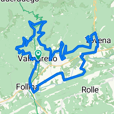
- Cison di Valmarino, Veneto, Italy
A cycling route starting in Cison di Valmarino, Veneto, Italy.
Overview
Usually, starting from the Treviso Prealps to Col Visentin, you get there via the homonymous Col Visentin route passing through Fais or coming from Pian delle Femene. In this case, you arrive from the north, from the Belluno area to be clear. The trails after Piandelmonte need to be checked, namely trail No. 11 and trail 20, which lead almost to Col Toront before Col Visentin. Therefore, I made a slight modification to the route, extending it by 4 km from the original 70 km. But at least the route passes through roads already tested by other bikers, so everything should be feasible for MTB.
created this 9 years ago
Route quality
Track
36.6 km
(49 %)
Quiet road
24.6 km
(33 %)
Paved
22.4 km
(30 %)
Unpaved
29.1 km
(39 %)
Asphalt
14.9 km
(20 %)
Ground
11.2 km
(15 %)
Continue with Bikemap
You would like to ride Il Col Visentin al contrario or customize it for your own trip? Here is what you can do with this Bikemap route:
Free trial for 3 days, or one-time payment. More about Bikemap Premium.
Discover more Premium features.
Get Bikemap PremiumFrom our community
Open it in the app